Disaster Services — 09 November, 2020
Tropical Cyclone Ulysses/Vamco Size-up
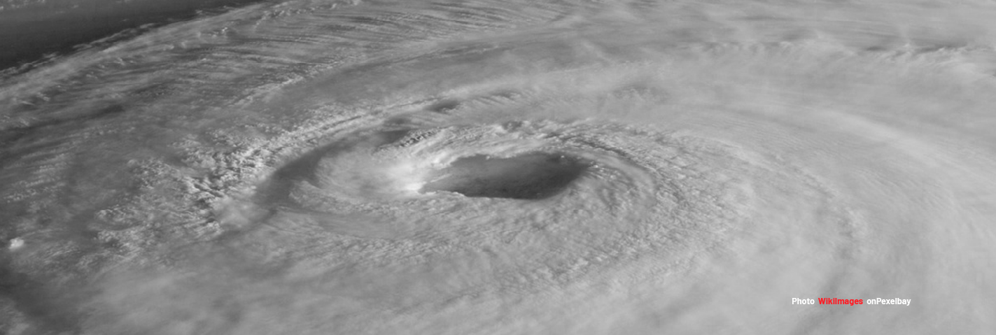
Tropical Cyclone Ulysses/Vamco has been sized-up.
Context
“The Philippine Atmospheric, Geophysical, and Astronomical Services Administration (PAGASA) said in its 5pm bulletin on Monday 9 November, that VAMCO strengthened from a tropical depression into a tropical storm. It now has maximum sustained winds of 65 kilometers per hour (km/h) and gustiness of up to 80 km/h, from 55 km/h and 70 km/h, respectively. The tropical storm is moving northwest at a much slower 15 km/h. Tropical Storm VAMCO will move generally northwestward today through tomorrow afternoon. Afterwards, it is forecast to turn westward and head towards the Bicol Region-Quezon area. A landfall over Bicol Region- Quezon area on Thursday is likely at this time. It is likely to reach Severe Tropical Storm category within 24 hours and may reach Typhoon category on Wednesday.”
Size-up Details
Event Name: Tropical Storm Ulysses (International Name: Vamco)
Type ofEvent: Slow Onset (~1.5 days until landfall)
Location: NW Pacific Ocean
Geographic Scope: Country/Countries (Philippines, potentially Vietnam)
Estimated Humanitarian Impact: 33.1 Million impacted by Category 1 or higher
Estimated Duration: Week(s) to Month
Event Scope: Minor to Moderate
Local Contacts: We ares till supporting from Typhoon Rolly and have already discussed Ulysses
Request(s): None Yet
HOT Current Capacity: Low capacity to manage another incident, plenty of capacity to support
Need for Activation: Low to Moderate