Disaster Services — 21 September, 2022
Tropical Cyclone Fiona Response
Tropical Cyclone FIONA-22 Activation Stats:
Community Mappersⓘ Total number of Mappers from Missing Maps
Total Map Editsⓘ Total number of edits from Missing Maps
Buildings Mappedⓘ Total number of buildings mapped from Missing Maps
Roads Mapped (KM)ⓘ Total length of roads mapped from Missing Maps
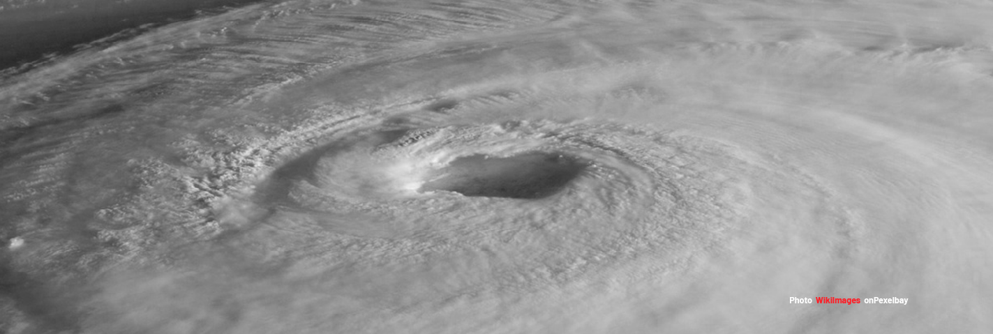
This is in activation by the HOTOSM Global to support disaster response to Hurricane Fiona in the Caribe.
Alert Context
“Tropical Cyclone FIONA-22 can have a medium humanitarian impact based on the maximum sustained wind speed, exposed population and vulnerability.”
Size-up Context
Context:“Tropical Cyclone FIONA-22 can have a medium humanitarian impact based on the maximum sustained wind speed, exposed population and vulnerability.”
Size-up Details
Event Name:Tropical Cyclone Fiona 2022
GDACS Alert Lvl:Orange (1.5)
Location: Caribbean
Geographic Scope: Dominican Republic, Turks and Caicos Islands most threatened
Estimated Humanitarian Impact: 1.1 million in Category 1 or higher
Estimated Duration: Weeks to Months
Event Scope: Major
Local Contacts: There are no local point(s) of contact identified as of yet
Anticipated Needs: Dominican Republic has significant basemap needs, according to DisasterNinja an estimated 24% of all roads and 91% of buildings are missing.
Request(s): There are no requests from partners currently
Need for Activation: Possibly
Active Orgs: OSM Haiti, other communities and individuals in the Caribbean
Lead Orgs: HOT
Context:“Hurricane Fiona reached Category 4 in the Caribbean bringing 222 km/h winds and rain. This project aims to use satellite imagery digitization to fill gaps in the structures common operational dataset of eastern Dominican Republic.”
Here is the list of projects to map the affected area:
13533, HURRICANE FIONA DOMINICAN REPUBLIC - BUILDINGS #1
13534, HURRICANE FIONA DOMINICAN REPUBLIC - BUILDINGS #2 (INTERMEDIATE)