Open Data for Resilience and Risk Management Initiative: Open Cities Latin America and Caribbean

The Latin American and Caribbean (LAC) region is highly vulnerable to natural hazards and volatile weather conditions, a situation exacerbated by high population density and climate change. In the 20 year period from 1998 to 2017, LAC was home to five of the top 10 countries most devastated by these events. Many Caribbean islands and coastal Central American countries suffer from recurring hurricanes, tropical cyclones, landslides and flooding.
Following on the Open Cities Africa experience, HOT is proud to announce the extension of the program to open mapping of resilience needs and response capacities with the Open Cities Latin America and the Caribbean project in collaboration with the Global Fund for Disaster Reduction and Recovery(GFDRR) and SwissRE Foundation.
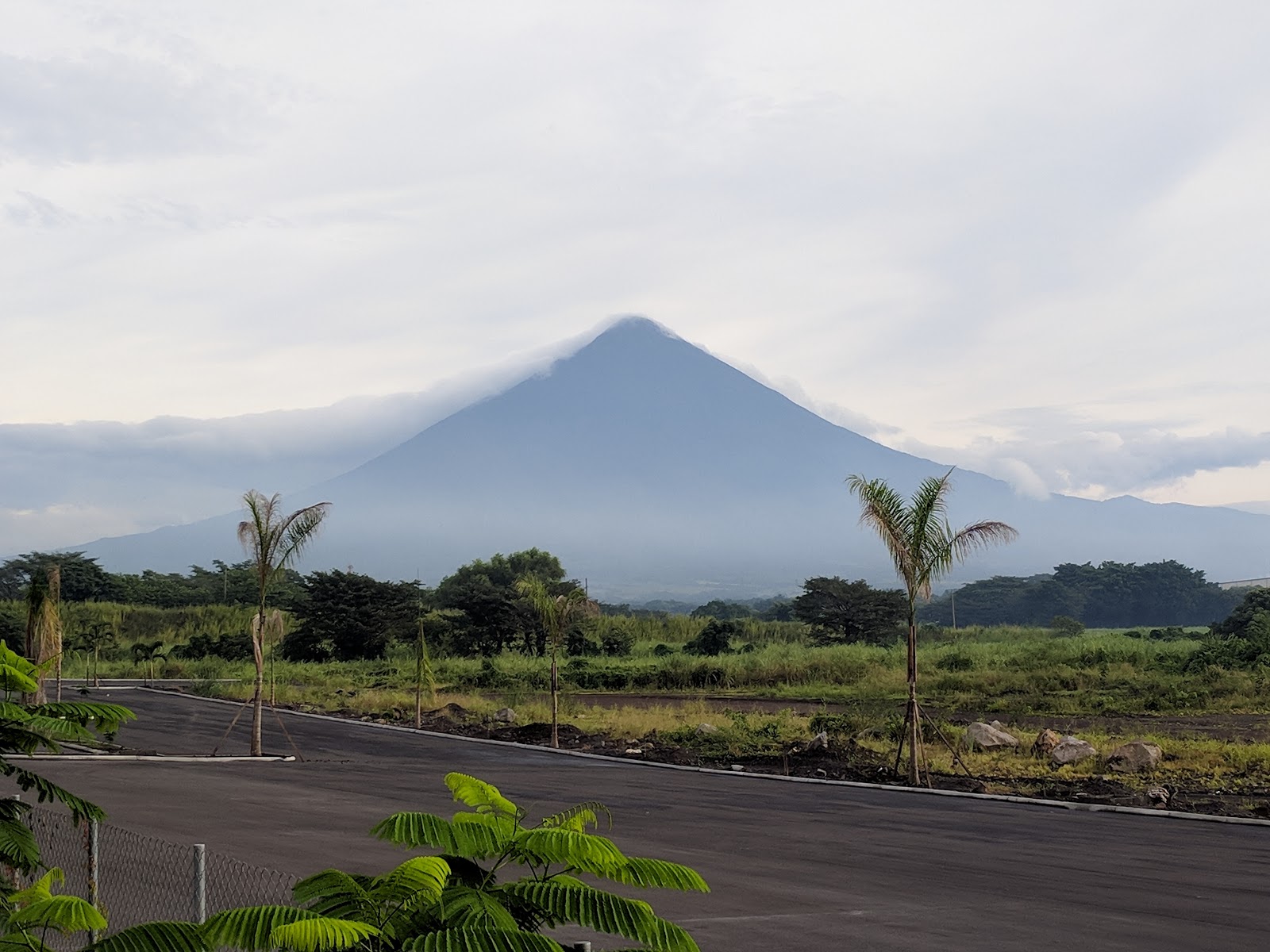
Open Cities: Guatemala
Guatemala’s economic and social development is regularly affected by the effects of climate change, natural disasters phenomena such as floods and droughts, which are expected to increase in both frequency and intensity. The impact of these events is particularly challenging for the most vulnerable members of the population. The occurrence of frequent natural disasters generates significant emergency care needs and as a result complicates the government’s efforts to address the challenges of reducing poverty and inequality. Read more
Open Cities: Mexico
Mexico has committed to reduce greenhouse gas emissions by 2030. In preparation for the Climate Action Plan, the aim is to build effective synergies between local and national stakeholders. This will help identify, analyze, evaluate, and prioritize city-level climate change mitigation and adaptation actions with active stakeholder engagement. Read more
Open Cities: Saint Lucia
Saint Lucia, like many Caribbean islands, is at risk of recurring hurricanes, tropical cyclones, landslides and flooding. The majority of the population is clustered in the low land located near the coastal areas, leaving them exposed to the effects of these threats.
The Humanitarian OpenStreetMap Team (HOT) is supporting the National Emergency Management Office (NEMO) and the national Central Statistics Office (CSO) with their immediate needs. This includes providing base layer information on existing structures in target areas and capturing the required details required for the assessment needs of these agencies. An added result of the exercise will be a pilot for establishing and growing anOpenStreetMap community of mappers, which is lacking in most of the islands in this region. The community-focused approach involves training and field exercises for long term impact throughout the island nation. Read more
Open Cities: Dominica
The Commonwealth of Dominica is also known as “the Nature Isle” due to its lush forest nestled in rugged terrain. However, recent extreme storm events have severely impacted and threatened the inhabitants’ way of life as well as the environment. The increase in storms has resulted in a search for more sustainable methods of living and development over the long term. This increase in sustainable development initiatives has created a need for more current and up-to-date data. For example, data for planning and assessment of projects requires knowledge of living, environmental and developmental conditions.
The ravages of Hurricane Maria (September 2017) are still evident around Dominica’s landscape and communities today. Humanitarian OpenStreetMap Team (HOT) plans to leverage community engagement along with existing rebuilding mandates to provide needed and timely data for the Small Island Developing State. HOT will support a local implementing team to capture the current status of the main urban area in Dominica. Vulnerable communities will provide insight into the local landscape for the project in order to determine the best use of open mapping initiatives.
A secondary output is the development of a mapping culture, on the ground, via remote mapping as well as through aerial mapping. The creation of this culture would foster greater open data use throughout the rest of the island, in preparation for future climate hazards, and act as a pilot for similar small island developing states in the Caribbean region. Read more
Open Cities: Jamaica
Jamaica is one of the larger Caribbean Islands with a substantial urban area around the capital city of Kingston. The rapid urbanization has caused issues with solid waste disposal and pollution.
Much of the pollution is visible in the concrete waterways throughout Kingston, its many suburbs and the Kingston Harbor. This leads to problems, including urban flooding and heavy marine pollution. Several studies have been conducted to identify and assess the effects, however, longer sustained methods of data gathering and monitoring are either lacking or not readily available for general use and analysis.
Humanitarian OpenStreetMap Team (HOT) is providing support to local partners through a local implementing team, to create an analysis of the solid waste accumulation and its effect on urban flooding and harbor pollution. The aim is to develop open-mapping methodologies to capture data, from both ground and aerial mapping. Partnerships with local and international actors in emergency management and marine protection will be integral to the development and sustainability of this initiative.
An additional aim of the project is to expand the use of open-mapping (ground and aerial) and open data technologies, especially among youth and academia, to establish and grow alternative avenues of geodata capture and mapping. Read more

