![]() Campaigns sized by edits
Campaigns sized by edits
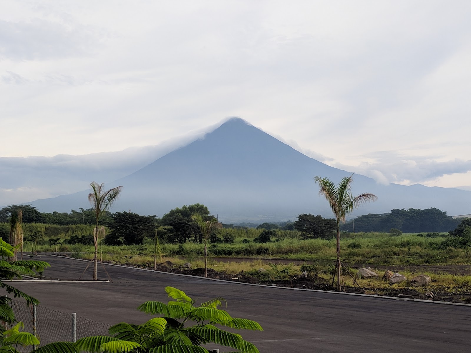
Mexico
Mexico has 17 HOT projects and 2 voting members
Read more about each project below or learn more about getting involved.
Get in touch with HOT or reach out to the local community.
Contact HOT
info@hotosm.org
Recent news from Mexico (View all news)
Data That Moves Cities: Participatory Mapping to Plan Transportation in Latin America and the Caribbean
From Zitácuaro to Salina Cruz, communities, universities, and local governments across Mexico are creating open public transport maps. This national strategy is led by the Humanitarian OpenStreetMap Team (HOT), in collaboration with Codeando México and Trufi Association, to digitize routes, support transportation modernization efforts, and reduce gaps in urban mobility.

Datos que mueven ciudades: cartografía participativa para planificar el transporte en América Latina y el Caribe
Desde Zitácuaro hasta Salina Cruz, comunidades, universidades y gobiernos locales de México están generando mapas abiertos del transporte público. Esta estrategia nacional es liderada por el Equipo Humanitario de OpenStreetMap (HOT), en colaboración con Codeando México y Trufi Association, para digitalizar rutas, ayudar en esfuerzos de modernización del transporte, reducir brechas en la movilidad urbana.
Collaborating and Reaching Greater Impact in Emergency Response
Help.NGO and HOT collaborated to strengthen emergency response efforts through drone technology and open mapping. From hurricane recovery in Acapulco to forest fire assessments in Ucayali, their partnership accelerates access to critical post-disaster imagery. These joint actions enable rapid damage assessment, informed decision-making, and more effective humanitarian coordination.

Innovando con MapSwipe: ciencia ciudadana para clasificar coberturas naturales
Un proyecto piloto que involucró a CONABIO y la Iniciativa Climática Mexicana junto a HOT explora el uso de MapSwipe para identificar coberturas naturales del suelo, mostrando su potencial para la ciencia ciudadana y el monitoreo participativo ambiental.

Can low-cost drones contribute to mangrove monitoring and conservation? Testing Drone Tasking Manager in La Paz, Mexico
Drone Tasking Manager (DroneTM) is a digital public good that enables communities to generate high-quality, high resolution aerial imagery using low-cost drones. Discover its potential for community-driven mapping and its use in protecting mangroves in La Paz, Baja California Sur, Mexico.

Creando Datos Juntos: Mapeo colaborativo para transformar el transporte público en México
México avanza en relación con sus propuestas de políticas públicas para la regulación y modernización del transporte público. Entérate como HOT contribuyó al proyecto “Creando Datos Juntos: Mejora de la Gestión del Transporte Urbano en México”.


-f43c1a.jpg)