Pegasus Caribbean - Saint Lucia & Jamaica
The Pegasus Caribbean Project equips communities in Jamaica and Saint Lucia with geospatial tools and training to enhance disaster preparedness, strengthen resilience, and support evidence-based risk management across the Caribbean.
Context
The Caribbean region faces increasing environmental and social risks related to climate change, from hurricanes to flooding. Yet many communities lack the capacity to anticipate and respond effectively. This project addresses those gaps by co-creating data-driven solutions through collaborative research and geospatial training, focused particularly on youth engagement and institutional partnerships. Anchored in Jamaica and Saint Lucia, Pegasus Caribbean builds upon prior efforts to advance open data ecosystems and strengthen community-based risk governance.
Under the strategic collaboration with CDEMA, the project is led by the University of the West Indies—through the Caribbean School of Open Data at the Mona School of Business and Management—in partnership with the Caribbean Open Institute. Pegasus Caribbean aims to build institutional and community capacities to better anticipate, understand, and respond to environmental and social risks. Key groups engaged throughout the project include: YouthMappers, Youth Emergency Mapping Champions (YEMC), National Emergency Management Groups in Saint Lucia and Jamaica, National Spatial Data Infrastructure (NSDI) projects, Red Cross, and Mercy Corps.
It is funded by the Gordon and Betty Moore Foundation’s Science Program and administered by Future Earth.
Approach
Pegasus operates through two main components: a participatory research track and a modular training program. Research consultants from UWI help refine and guide mixed-method studies exploring GIS training retention, the effectiveness of participatory mapping, and partnership dynamics. In parallel, three tailored training formats target diverse audiences:
-
A six-week online course on the JUMP platform for post-secondary youth, covering disaster mapping, OSM, and GIS tools.
-
One-day local workshops introducing OSM and mobile mapping to community volunteers and government staff.
-
Executive briefings for decision-makers highlighting the strategic role of mapping in resilience planning.
Six facilitators (two from Saint Lucia and four from Jamaica) were trained to lead sessions and monitor participant progress. Through partnerships with groups like YouthMappers, Youth Emergency Mapping Champions, and national emergency management entities, the program ensures relevance and localized adaptation.
Outcomes and Impact
-
200+ individuals trained across youth, government, and NGO sectors.
-
Strengthened technical capacity in mapping for disaster risk reduction.
-
Increased awareness of open geospatial data among decision-makers.
-
Reinforced partnerships with Red Cross, Mercy Corps, and national emergency entities.
-
Improved integration of local mapping data into resilience planning.
Lessons Learned / Next Steps
The project has shown that localized, multi-level training fosters stronger engagement and ownership. Future steps include follow-up mentoring with youth participants, sharing research findings across regional platforms, and exploring integration into national disaster risk strategies. Continued collaboration with CDEMA and national institutions is key for long-term sustainability.
Recent news from Pegasus Caribbean - Saint Lucia & Jamaica (View all news)
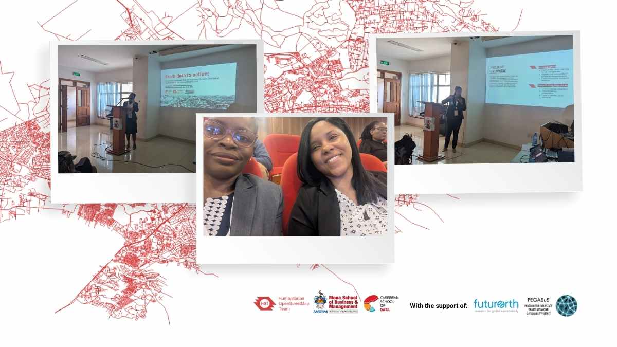
Building Bridges from Data to Action: HOT-CSOD at SRI2025 Africa Satellite Event
HOT and CSOD showcase their Pegasus project at SRI2025, connecting Caribbean resilience and open data with global sustainability innovation.