ⓘ
OpenStreetMap users in HOT's priority regions
Our Work
Highlighted Programs
HOT implements a range of impactful programs that leverage open map data to address humanitarian challenges globally. Working in 94 countries, we collaborate with local communities, governments, and organizations to create and maintain detailed, accessible maps that aid local communities, NGOs, and governments in making informed decisions and improving lives.
Impact Areas
HOT works to solve local challenges that are global in scale and contribute to the achievement of the Sustainable Development Goals (SDGs). We work in five core impact areas, and by driving efforts in these key areas work towards our mission to improve well-being, reduce suffering, and increase resilience for people who are systematically underrepresented in countries at high risk of disaster, humanitarian emergency and multidimensional poverty, through making and using open map data.
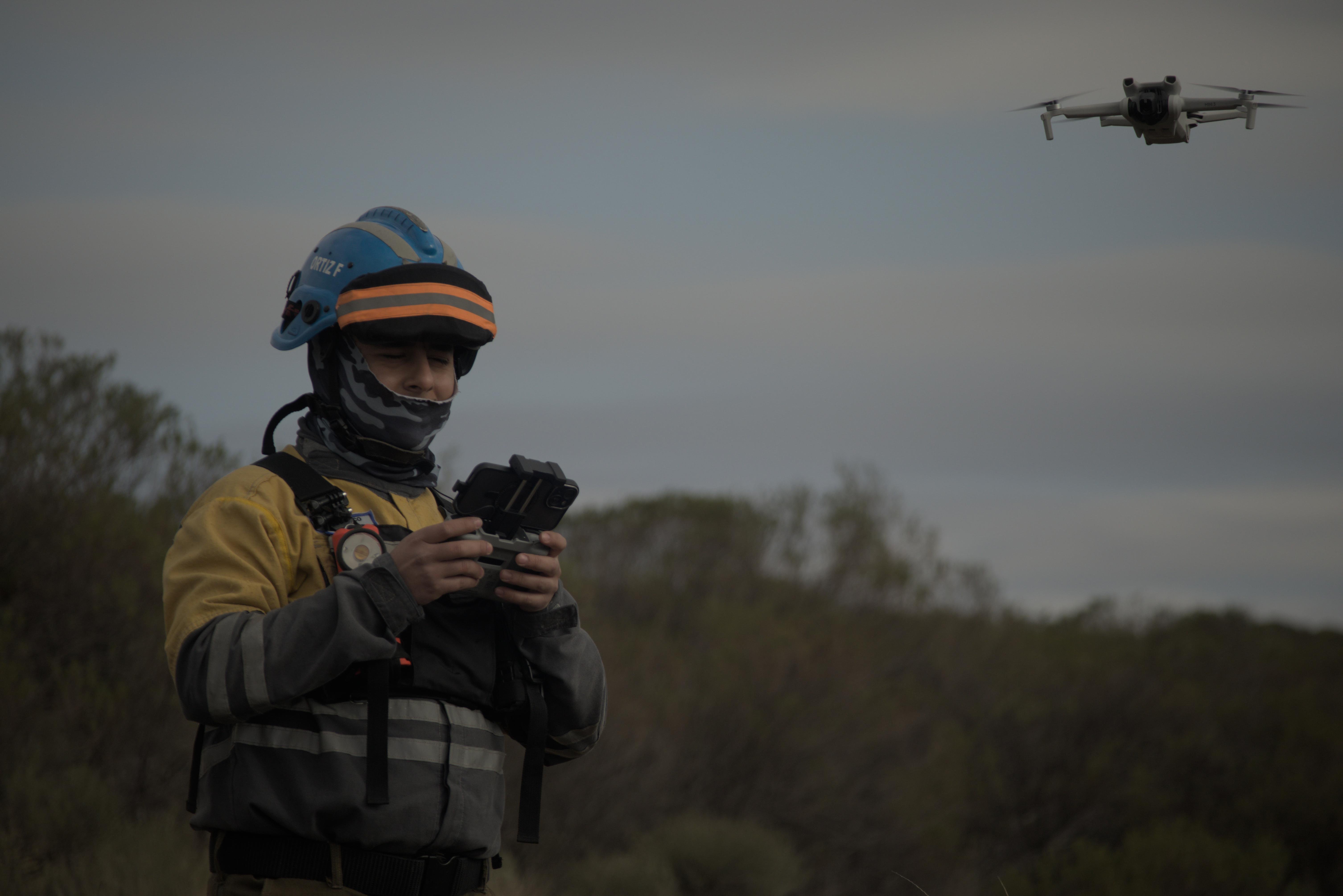
Disaster Response
Climate Resilience & Sustainability
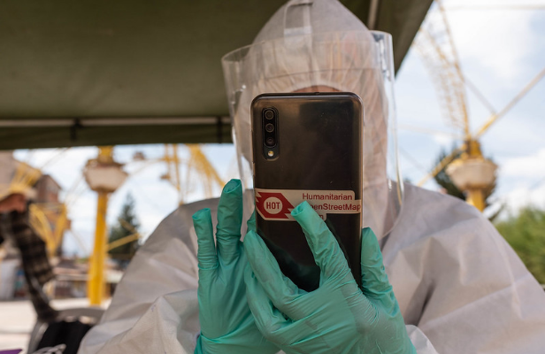
Public Health
Displacement & Safe Migration
Gender Equality
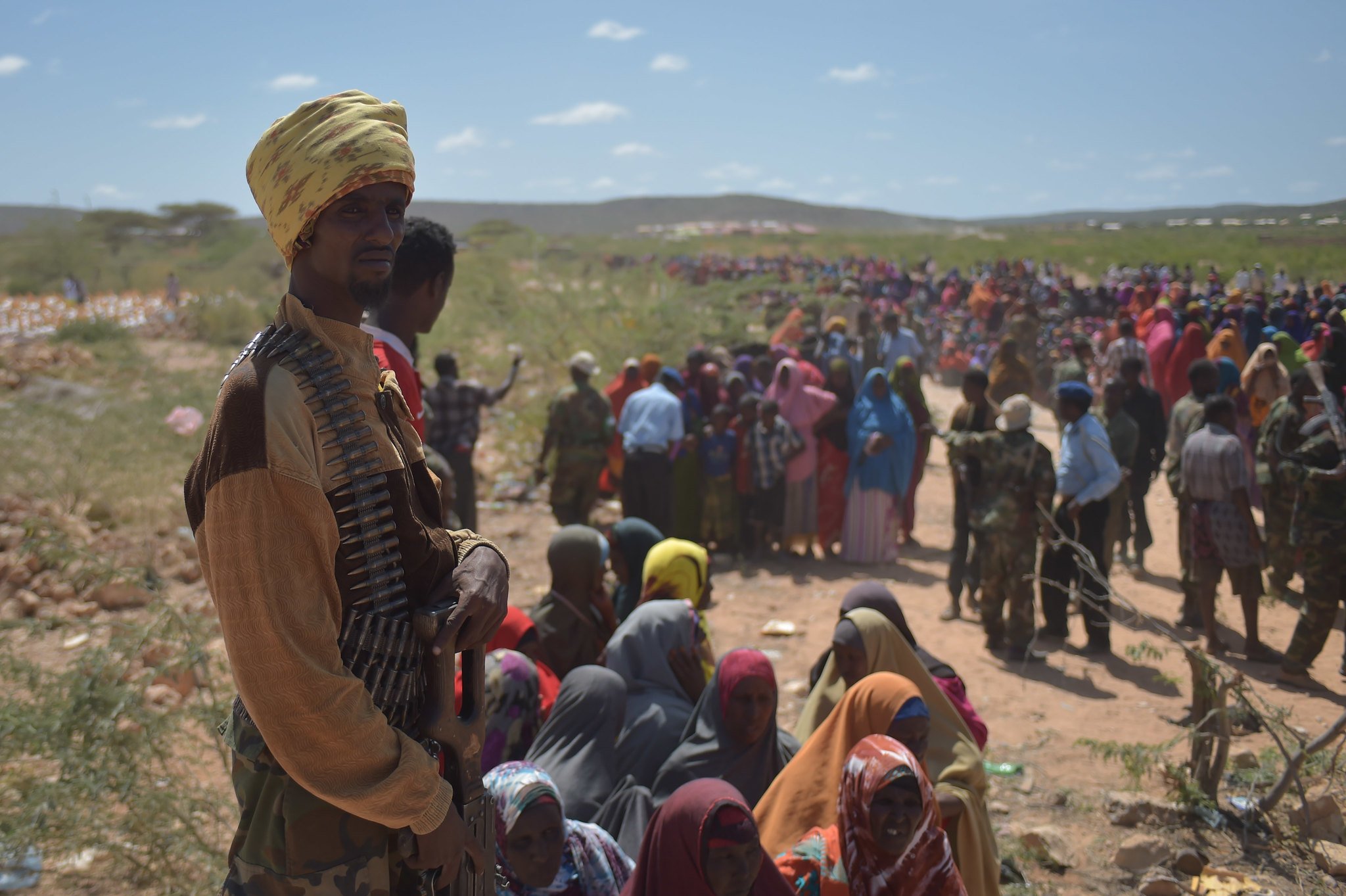
Disaster Response
The rising impact and scale of humanitarian emergencies on vulnerable populations make the demand for data-driven disaster response even more pressing. Open geospatial data provides government agencies and first responders with critical information to take more informed and locally appropriate action when a disaster or humanitarian crisis hits.
Climate Resilience & Sustainability
Open mapping supports strategies to mitigate potential climate impacts, enhance community preparedness, and ensure that communities grow in environmentally sustainable ways. Through mapping climate hazards and realities in the communities, local players can contribute towards finding sustainable solutions by filling in data gaps and contributing to long-term community resilience and development.
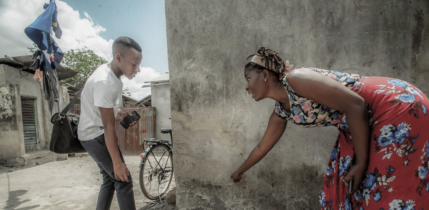
Public Health
When communities actively participate in mapping their own areas, they create detailed maps that help identify gaps and plan targeted and effective health interventions, ultimately improving the health and well-being of communities globally. Thus, open geospatial data is invaluable for developing policies that address health disparities, enhance equitable health access, and evaluate the effectiveness of public health programs.
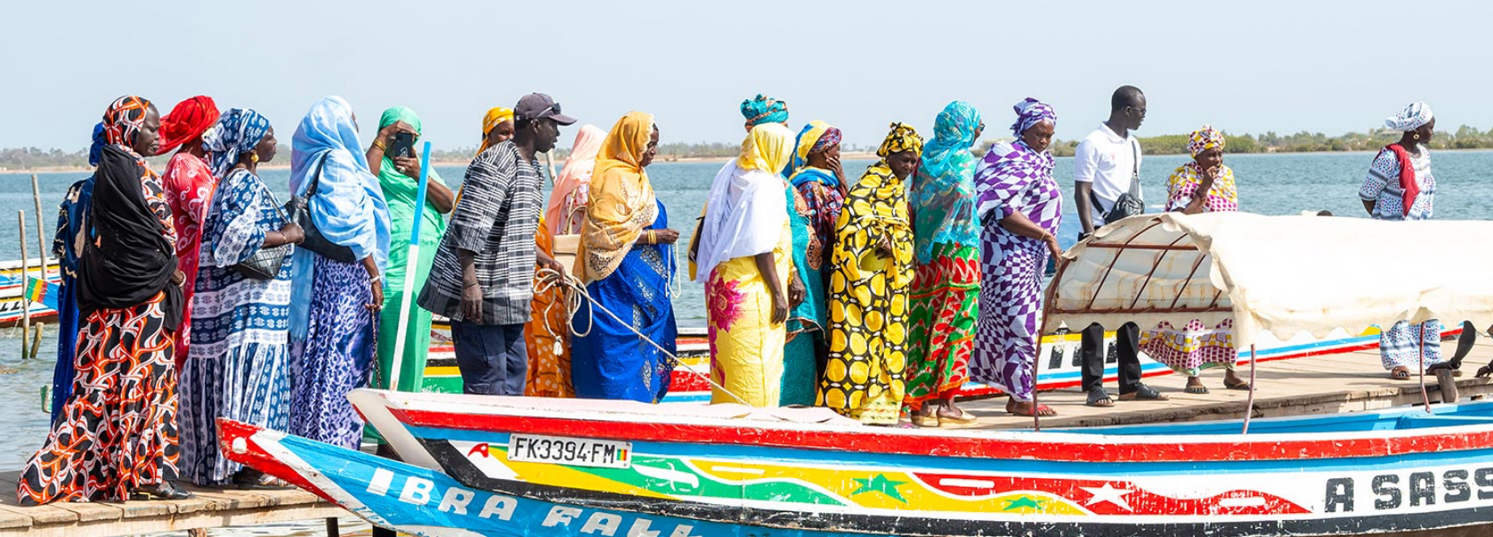
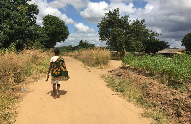
Displacement & Safe Migration
Conflict, persecution, violence, and natural disasters have caused a record more than 100 million people worldwide to be displaced. Humanitarian organizations and governments require accurate geospatial data to locate and understand the needs of displaced communities, identify potential risks, enable better coordination and resource allocation, and ensure that assistance reaches those who need it most.
Gender Equality
By identifying and addressing gender-specific gaps, open geospatial data provides a more nuanced understanding of how resources, services, and vulnerabilities are distributed across different genders within communities, ensuring an inclusive approach and community ownership in the open mapping process. HOT is committed to fostering inclusivity, and by involving women and gender non-conforming people in mapping initiatives, we ensure their needs are prioritized, enabling targeted and effective interventions to promote gender equity and inclusion.
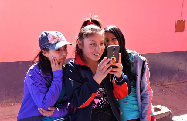
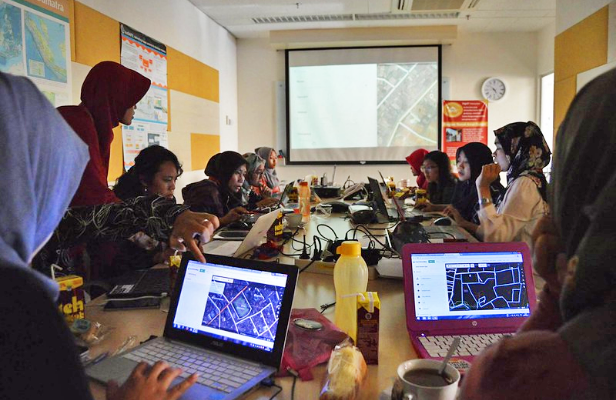
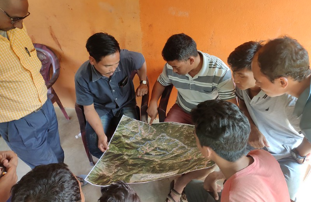
HOT works around the globe to support the use of OpenStreetMap by local communities and help build a local open mapping movement.
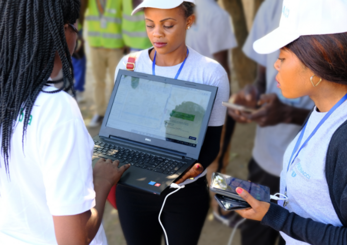
HOT works across sectors to provide map data that revolutionizes disaster management, reduces risks, and contributes to the achievement of the Sustainable Development Goals.
Open Mapping Hubs
HOT works through four regional Hubs to support and scale OpenStreetMap communities around the world. Regional Hubs leverage local expertise and resources to create and sustain the open mapping movement. Hubs have a pivotal role in facilitating localized mapping efforts and serve as a vital connection between local communities, NGOs, governments, and international aid organizations, ensuring that mapping initiatives are tailored to regional needs and priorities.
Asia-Pacific
Facilitating collaboration and driving the growth of open mapping ecosystems in Asia-Pacific.
Learn More
Eastern & Southern Africa
Advancing community development and humanitarian response through open mapping solutions.
Learn More
West & Northern Africa
The WNA Hub engages with open mapping organizations and communities to facilitate the exchange of ideas and expertise across the region.
Learn More
Latin America and the Caribbean
Enabling resilient communities through social impact mapping in Latin America and the Caribbean.
Learn More
Ready to get started creating and using open data?
At HOT, we use a combination of open mapping tools developed by the open-source community to create, access, manage, analyze, and share open map data that serves our partners and local communities. All of these tools and resources are freely available for you to use.
News
Subscribe for Updates & Announcements
Stay in the loop with the latest news, events, and project updates from HOT.
Sign up to our newsletter