From reaction to prevention: Risk mapping in Ecuador
Posted by Céline Jacquin • Sept. 28, 2023
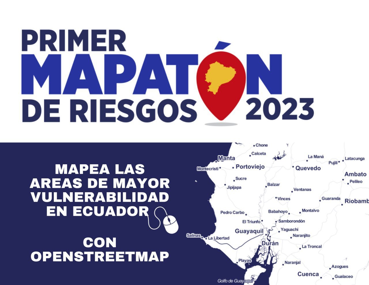
With an El Niño Phenomenon developing for 2023-2024, preventive disaster mapping becomes a crucial tool to minimize damage and victims in the territories. And that is what we are doing in Ecuador together with the Risk Secretariat.
After mapping in response to floods in the Las Esmeraldas region, Ecuador, which was carried out in coordination with the Risk Management Secretariat of said country, this institution agreed to continue collaborating with the LAC Open Mapping Hub, this time in the preparation of cartography to support the management of the possible impacts of the El Niño phenomenon.
Based on this previous positive experience, a large map-thon was planned to which the Risk Management Secretariat invited numerous actors e institutions to provide a variety of training to the public and officials, including a continued remote mapping initiative in OpenStreetMap of the areas classified as highly vulnerable to the El Niño phenomenon.

Image source: Wikimedia
The objective of the activity is to generate information that the Risk Management Secretariat can analyze, and take advantage of in its planning as a complement to the national level data that it usually has, but that sometimes do not reach the necessary level of granularity: buildings, existing roads and economic infrastructure.
All these cartographic objects are essential for estimating damage in terms of population and production, and for recovery policies against disasters such as the La Niña and El Niño phenomenon. This data will be used in the same way for any other challenge in the future, and is available to any actor who needs it.
The collaboration also has the secondary objective of developing a university and business civil fabric with the capacity to participate in future collaborative data generation needs. This group of people, institutions and organizations will have the potential to detail the cartography of areas complementary to those worked on as well as update the map at any time.
Consequently, on September 12, Riesgotón was launched, a set of mapping activities (workshops, Mapathons) with the purpose of preventing disasters that could occur due to the El Niño phenomenon in Ecuador. You can see the broadcast of the launch in this Facebook link in Spanish. (Fast forward to minute 3.50 to start).

Based on its own priorities and accompanied by the Humanitarian OpenStreetMap Team - HOT, the Secretariat defined a set of priority areas, with which a vulnerability analysis was carried out, involving a multidisciplinary team of students from the University of the Armed Forces ESPE in the development of the study and the creation of mapping projects in HOT's Tasking Manager.
From launch day until November, HOT and the Geomap-Espe Youthmappers group will lead ongoing virtual training activities - in groups limited to national officials and then to the general public - and Mapathons, at a rate of two to three times a week.
In-person Mapathons are also planned at universities in Quito, the capital of Ecuador, and mapping activities and presentation of results at the 50th Anniversary of the Pan American Center for Geographic Studies and Research – CEPEIGE.
The mapping carried out so far in figures
Contributors in the Tasking Manager: 165
Contributors on Mapswipe: 124
Mapped area: 2083+1264 km2
Participants of online activities so far: 296

(https://mapswipe.org/en/projects/-Nes80bNu__CBhTzhB4Z/)
Calling mappers!
We call on the national, regional and global Openstreetmap mapping community, as well as the Missing Maps community, to participate in the preventive mapping of Ecuador, while similar support is being prepared in more countries in relation to the El Niño phenomenon, which is one of the most destructive climatic phenomena in the South American region and for which the Andean region has already been considered on orange alert.
At HOT we continue to respond to disasters in the region in coordination with government institutions and private organizations in charge of humanitarian action. But we will also be developing a large preventive open mapping effort to the extent possible. In this way we intend to help the region advance consistently in its disaster preparedness.
In the context of Latin America and the Caribbean, the lack of local-scale geographic data is still very noticeable, which is key to supporting the population in emergency situations but also in any other planning and development situation. This will mean a large collaborative mapping effort for which we will constantly be inviting the public to participate and training them for the highest quality data possible.
Share
