How can we improve community disaster preparedness and response capacities with crowdsourced spatial data in Latin America and the Caribbean?
Posted by Céline Jacquin • June 7, 2021
HOT, in collaboration with the Global Fund for Disaster Reduction and Recovery and SwissRE Foundation, is proud to announce the Open Cities Latin America and the Caribbean project.
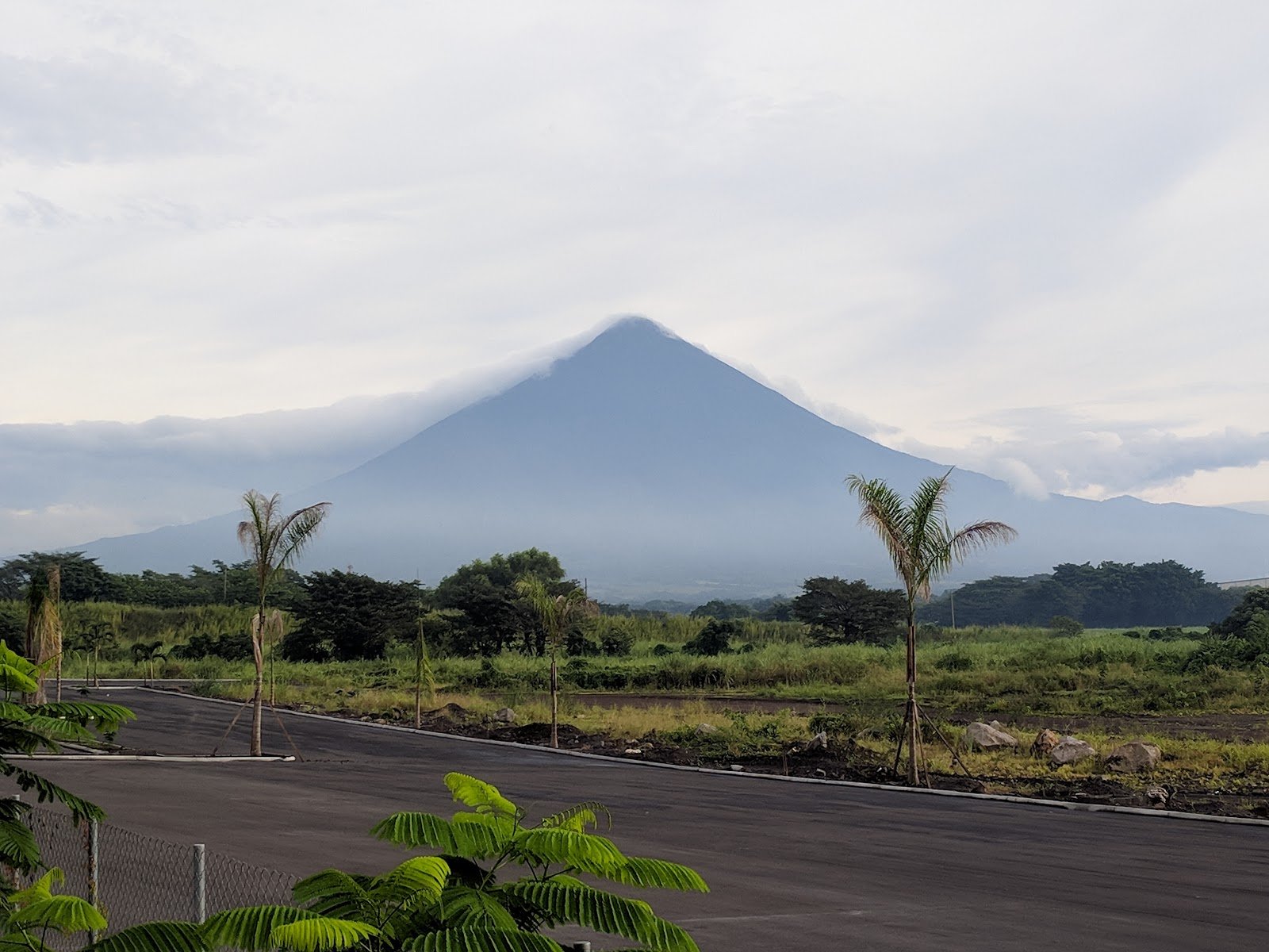
Lead photo: Volcán de Fuego, Guatemala
Following on the Open Cities Africa experience, HOT is proud to announce the extension of the program to open mapping of resilience needs and response capacities with the Open Cities Latin America and the Caribbean project in collaboration with the Global Fund for Disaster Reduction and Recovery (GFDRR) and SwissRE Foundation.
A region highly exposed to hazards and lacking data
In addition to the environmental degradation of rapid urbanization and other human activities, the geographical and climatic conditions of the Latin American and Caribbean region make it vulnerable to threats such as hurricanes, tropical cyclones, landslides, and earthquakes. Added to this, climate change is impacting the region, exposing high-density populations to unpredictable and catastrophic effects. In the past two decades, five of the 10 countries most devastated by natural hazards in the world were in Latin America and the Caribbean.
Government institutions, civil protection, and risk management organizations need coordination around critical data for effective coordination. However, they do not generally have reliable access to high-quality, usable data, with a sufficient level of local disaggregation to develop emergency and risk prevention plans in the most vulnerable areas, namely, cities and municipalities. The production and updating of this information is a challenge and can only be carried out by local actors and communities in order to accurately reflect the complex intersections of risks, local knowledge, and identification of critical infrastructure as well as local resources.
Successful efforts in the creation of information by civil society and organizations from different sectors that involve communities exist, but there are still untapped opportunities to connect experiences and form a consolidated regional methodology and improve the quality of the data and open access to non-sensitive information.

Collaboration and joint experiences enable the creation and sustainability of open community mapping
HOT is dedicated to supporting open mapping communities around the world in crisis response and sustainable development. In this Open Cities project, HOT will collaborate with GFDRR to provide expertise on open data and technology, crowdsourced information, and sustainable relationships between institutions and local communities for disaster management. The data of interest for disaster management depends on each location and its specific conditions, but it commonly includes the road network, urban areas, buildings, and infrastructure, as well as community services and facilities. A sustainable system requires solid ecosystems of actors supported by training and connecting communities with local organizations and structures that can ensure continuity and promote mapping and data creation efforts in the future.
The project builds on HOT's previous experience with the program of Open Cities in South Asia, first in Nepal in 2014, then in Bangladesh and Sri Lanka, and then in 12 cities in sub-Saharan Africa in 2018. In these projects, local governments, civil society, and the private sector were involved in developing local capacity and the information infrastructures necessary to face the challenges of urban resilience. HOT has collaborated with open mapping communities for more than 10 years, designing innovative tools and modeling capabilities for improving the map and providing technical assistance to local actors, quality control processes, and training. Through the Open Cities program in Africa, more than 500 people were trained in collecting data on risk and resilience through open source mapping tools, adding more than 500,000 buildings, roads, markets, schools, hospitals, parks, canals, and other features to the open and collaborative database of OpenStreetMap.
Efforts were made in collaboration with the World Bank operational teams to promote and facilitate the long-term use of data in the region, integrating and assisting the institutionalization of processes.
The emphasis on remote learning, gender, cultural diversity, and sustainability over time, and the consolidation of communities of practice are at the core of the vision of the Open Cities program. In Latin America and the Caribbean, HOT has a collaborative relationship with a vast and diverse mapping community, which will be warmly invited to participate in the actions developed.
 Fieldwork during Public Transport mapping project in Managua (Nicaragua) by Mapanica’s community, 2017.
 Data added during Cusco Mapping Activation for Covid-19, 2020.
Open Cities Latin America and the Caribbean will strengthen the capacities and links between communities and organizations through local pilots in five countries: Mexico, Guatemala, Saint Lucia, Dominica, and Jamaica, by supporting them to create, compile and use open source geospatial data for disaster risk management with a robust process. It will also support governments and organizations to make informed, data-driven decisions and train hundreds of people in local communities and universities in data collection and the use of open source geospatial tools.
Share
