
Mhairi O'Hara
Bio
Mhairi started out with HOT as a technical project manager back in 2015 and is delighted to see it grow larger and evolve with each passing month. Mhairi has lead numerous projects focusing on research, technology, data creation and community development. These include the GFDRR Challenge Fund, the UK Space Agency METEOR initiative, the HOT Export Tool development and the USAID funded InAWARE programme in Indonesia. Receiving her Masters degree in Geographical Information Science from the University of Edinburgh, Mhairi focused her research on the modelling of historical lava flows at Hekla and Eyjafjallajökull in Iceland. She completed her Bachelors degree in Geography at King’s College London, focusing on the development of urban landscapes and the impact of natural hazards on cities. She has also spent time with the USGS Hawaiian Volcano Observatory on the Big Island and worked on WASH solutions in Turkana, Northern Kenya. Growing up all over the world, it was her time in Fiji and Indonesia that nurtured her interest in natural hazards. She continues to travel, and loves meeting new people and having new experiences. She would say she has a healthy obsession of volcanoes, surfing, food, gaming and anime, in addition to promoting the use open source and open data for humanitarian mapping. She is passionate about personally engaging with individuals, sharing skills, and community driven projects. Helping HOT develop the tools that transcend technical ability, language barriers and financial status, is at the heart of her work. Mhairi believes everyone has a right to have access to information and tools to empower themselves and take on issues they deem most prevalent in their local environment. Providing the tools and sharing skills with local citizens to participate and apply OSM to their own initiatives is just a small way in which she can support the world as we work together towards the SDGs.
Posts
How We're Making it Easier for Humanitarians to Use OpenStreetMap Data
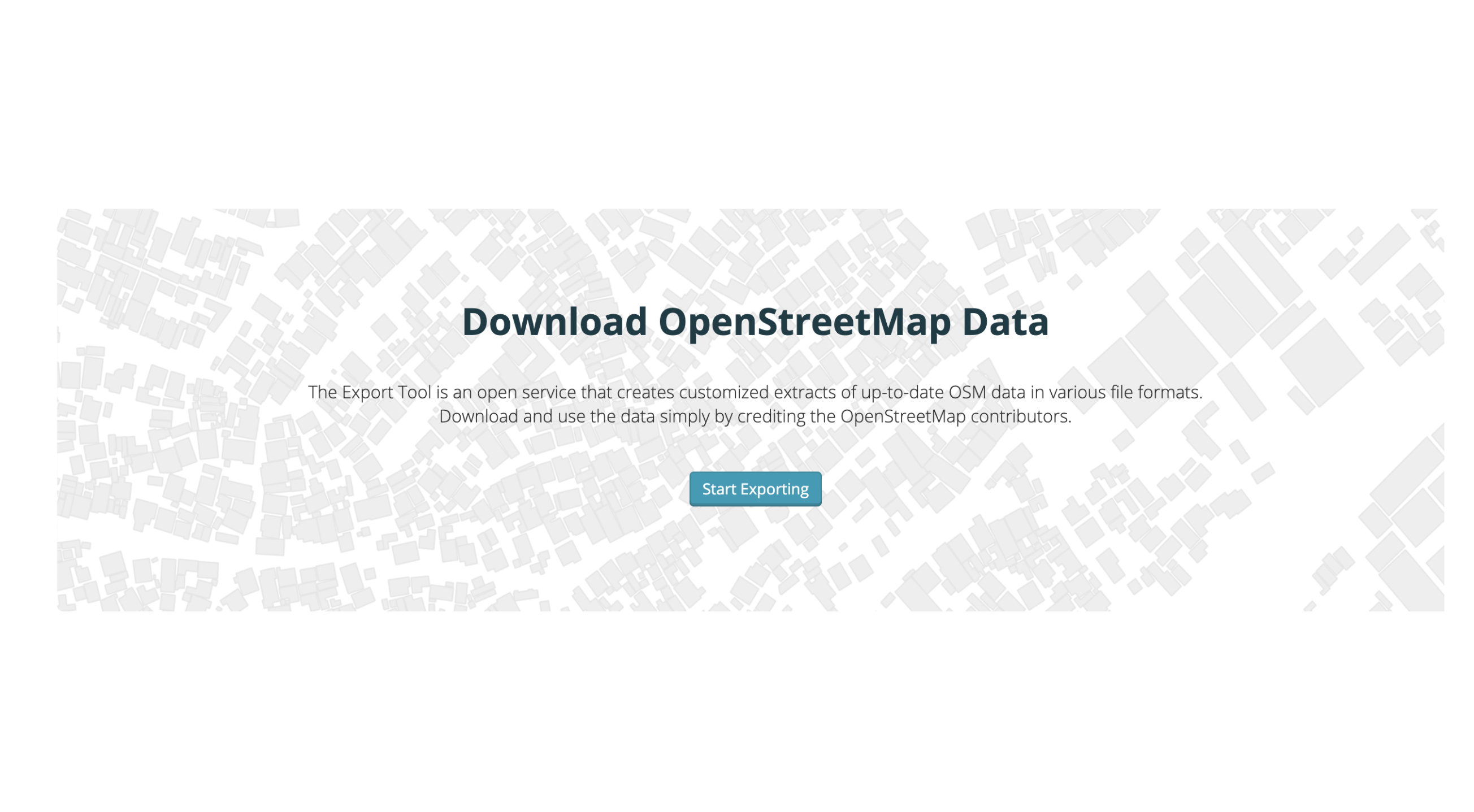
At HOT, we’re constantly looking to improve our tools to address user needs and help OpenStreetMap data be delivered in the right format at the right time. In July we started a new round of software development on the Export Tool to continue to help humanitarian partners get the data they need. We continue to update and develop the Export Tool as we attempt to provide our users with the best possible experience and answer a wider variety of their needs.
An approach to field data collection in Kathmandu
Guest blog by Gaurav Thapa from Kathmandu Living Labs. Covering the collection process carried out by the team for surveying exposure data in Kathmandu Valley, Nepal as part of the METEOR project.

Digitising Kathmandu from above
Guest blog by Gaurav Thapa from Kathmandu Living Labs. Covering the digitisation process carried out by the team for mapping building footprints in Kathmandu Valley, Nepal as part of the METEOR project.
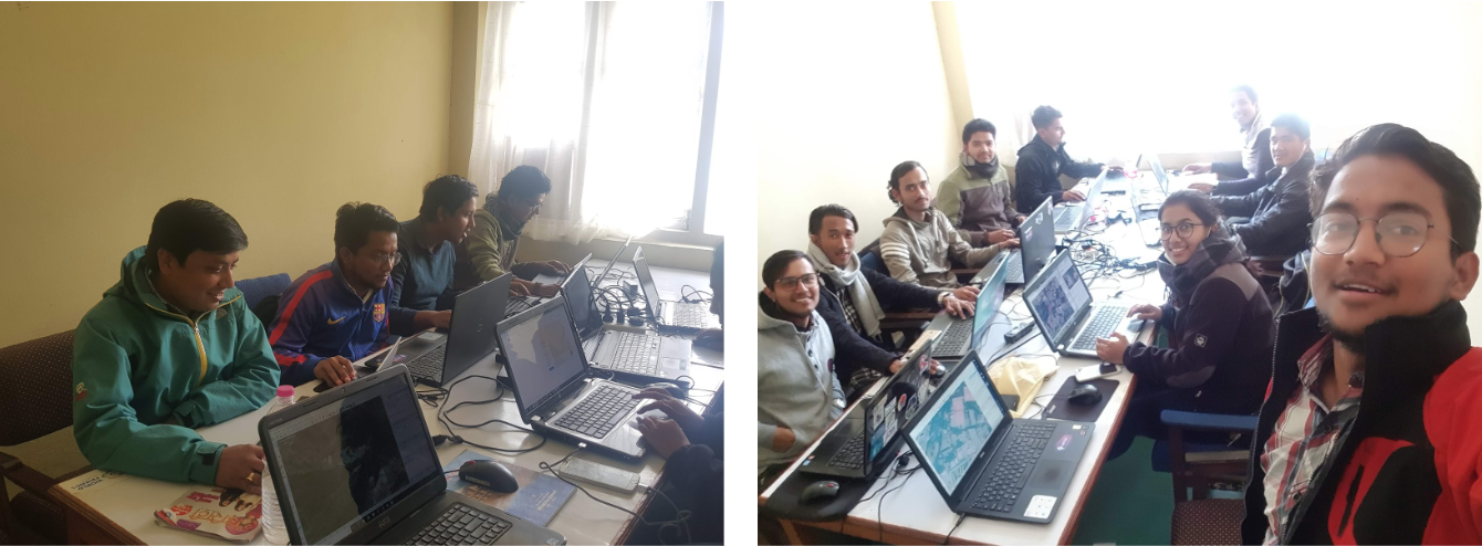
METEOR: Site Visits with Kathmandu Living Labs in Nepal
HOT and KLL set out on site visits across Kathmandu to assess the homogenous zones identified for mapping in OpenStreetMap. These seven zones have been identified as rural, residential, dense residential, urban, industrial, informal, high urban and new industrial. KLL will remotely digitise all the building footprints within the homogenous zones, before collecting detailed attribute information on the ground for a select sample of these buildings.

OpenStreetMap Workshop at The Pacific GIS and Remote Sensing Conference (University of the South Pacific)
The OpenStreetMap (OSM) community in the Pacific Islands is small but growing. This year, the Humanitarian OpenStreetMap Team (HOT) held an OSM workshop as...

Kickoff of HOT's Participation with the InAWARE Programme
The Humanitarian OpenStreetMap Team’s (HOT) participation in the InAWARE program kicked-off last week with stakeholder workshops in Jakarta and Surabaya, Indonesia. The Badan Nasional Penanggulangan Bencana (BNPB) graciously hosted the event at their headquarters, which was lead by the Pacific Disaster Centre (PDC) and attended by the Massachusetts Institute of Technology (MIT), Disaster Management Innovation (DMI), HOT and various other stakeholders.

Ecuador Earthquake: Assessing the Extent of Damaged Buildings
Efforts are still going strong 7 weeks after the initial earthquake struck Ecuador on the 16th April close to the towns of Muisne and Pedernales, with HOT transitioning from the 1st stage of mapping focused on pre-event data to the 2nd stage, a pilot project aimed at mapping building damage and temporary shelters.

Commence - Mapping Financial Services Training
The Mapping Financial Inclusion in Uganda project is truly underway as we enter our second week of training in Mbale, Uganda. HOT is currently at the Uganda Christian University (UCU) introducing 30 local students to various open source tools with the assistance of students from Makerere University. There will be two days of training before we head out into the field on Wednesday to start mapping the district of Mbale.

Hewlett Foundation Grant Summary | Ebola Epidemic Response
Inspired by our response to the West Africa Ebola epidemic, a grant was generously made by the Hewlett Foundation to HOT in late 2014. This funding was aimed at improving the ability of HOT to fulfill its large scale and long running Ebola response, as well as have the capacity to respond to future events. It was determined by the community that the grant be divided and focus on three projects, addressing the development of the online tools Field Papers and the Export Tool, as well as building the numbers of Activation Coordinators.


