News
On the Frontlines of the Climate Crisis: A Journey to the Bolivian Amazon
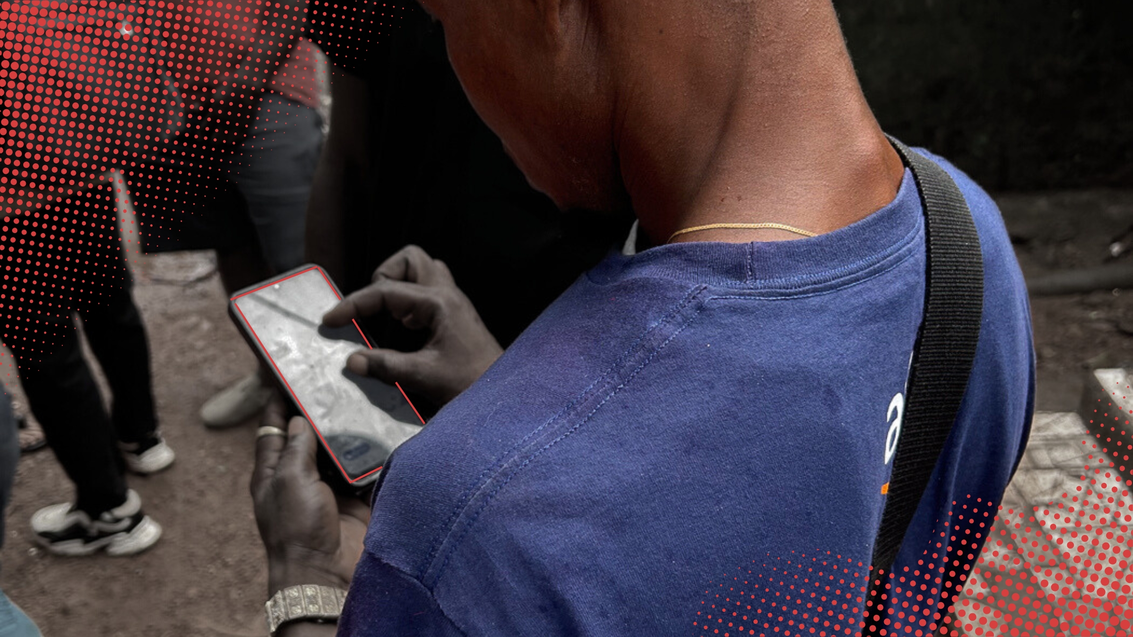
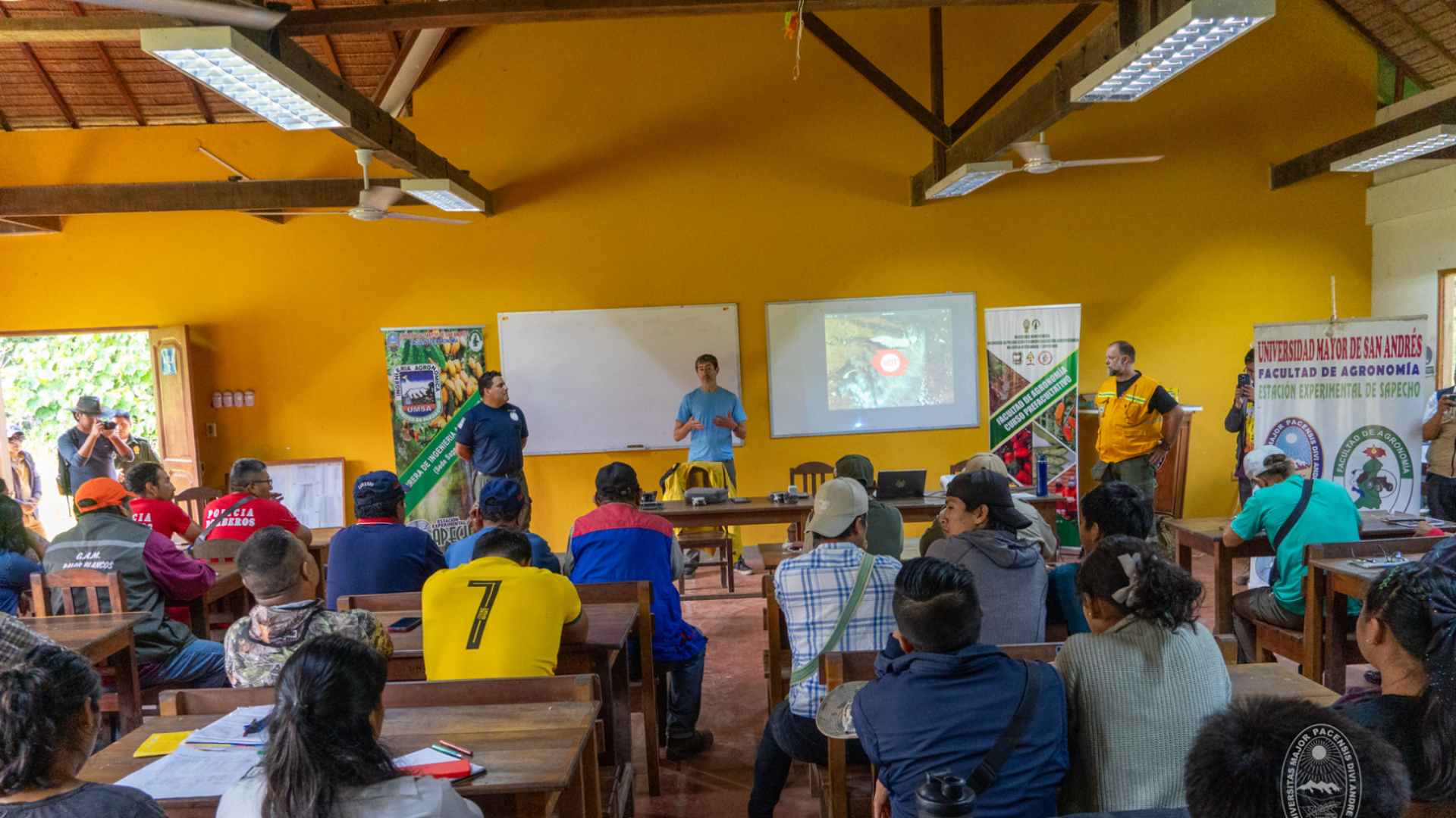
In Sapecho, Bolivia, Indigenous communities, park rangers, and firefighters come together in an open mapping workshop to prevent wildfires and manage their territory with humanitarian technology.
HOT Tasking Manager: Major Highlights and Celebrations this 2025
In this blog, Ramya Ragupathy, the Tasking Manager's Product Manager, celebrates the amazing achievements that came through this year for HOT's flagship tool, with the launch of its fifth version after 15-years of existence and its recognition as a Digital Public Good.

Mapeos participativos para una Amazonía sostenible: tecnología y saberes para defender el territorio
"Mapeos participativos para una Amazonía sostenible" avanza en Bolivia, Colombia y Guatemala, uniendo diálogo de saberes y tecnologías libres para fortalecer la autonomía territorial de comunidades indígenas en la Amazonía y Mesoamérica.

Staff Spotlight Series: Jessie Pechmann
Each quarter, we feature one of our all-star staff members in a Spotlight Series. Staff featured in this Series have been peer-nominated for their superb performance and values-driven work. This quarter, we spotlight Jessie Pechmann, HOT’s Conflict & Displacement Program lead.

Field-TM: Making Urban Development Easier in Tokha Municipality
55 enumerators and project coordinators used the Field Tasking Manager (Field-TM) for a building survey in Tokha, Nepal, to improve metric addressing and develop integrated databases. The tool enhanced data collection during a house numbering survey of 17 km² and 30,000 buildings. Despite challenges, the project progressed smoothly, providing insights for enhancing Field-TM. The municipality plans to use the data for assigning house numbers and urban management, highlighting the importance of efficient data collection in growing urban areas.

Call for Advanced Mappers: Post‑Disaster Mapping in Mokwa
A devastating flash flood recently tore through Mokwa, leaving homes destroyed and lives upended. We’re calling on advanced mappers to help tag building damage and update infrastructure using new satellite imagery to enhance analysis and impact.

Participatory mapping for a sustainable Amazon: technology and local knowledge to defend the territory
"Participatory Mapping for a Sustainable Amazon" is advancing in Bolivia, Colombia, and Guatemala, bringing together knowledge exchange and open technologies to strengthen the territorial autonomy of Indigenous communities in the Amazon and Mesoamerica.
Data That Moves Cities: Participatory Mapping to Plan Transportation in Latin America and the Caribbean
From Zitácuaro to Salina Cruz, communities, universities, and local governments across Mexico are creating open public transport maps. This national strategy is led by the Humanitarian OpenStreetMap Team (HOT), in collaboration with Codeando México and Trufi Association, to digitize routes, support transportation modernization efforts, and reduce gaps in urban mobility.

Humanitarian GIS Reflections in Mid-2025: A Collaborative Approach to Geospatial Data
Amid severe funding cuts in 2025, humanitarian GIS practitioners are prioritizing collaboration to avoid duplication and leverage shared resources like OSM. Spatial data—particularly OSM’s open, community-driven model—offers a resilient framework for coordinated crisis response, combining local knowledge with global standards.

Demystifying Expert Mapping Through Modeling
Tim DeWinter, our Open Mapping for All Coordinator, invites you to explore how modeling can make expert OpenStreetMap skills more accessible to beginners and foster a stronger mapping community.

Datos que mueven ciudades: cartografía participativa para planificar el transporte en América Latina y el Caribe
Desde Zitácuaro hasta Salina Cruz, comunidades, universidades y gobiernos locales de México están generando mapas abiertos del transporte público. Esta estrategia nacional es liderada por el Equipo Humanitario de OpenStreetMap (HOT), en colaboración con Codeando México y Trufi Association, para digitalizar rutas, ayudar en esfuerzos de modernización del transporte, reducir brechas en la movilidad urbana.
OpenStreetMap Contributors Needed to Map Khartoum Ahead of New Radar Satellite Imagery
Over the past two years, conflict in Sudan has driven the country into one of the world’s largest humanitarian crises. Satellite radar coverage gaps have hindered efforts to assess damage to urban areas. With the launch of the Sentinel-1C radar satellite by the European Space Agency, that gap is beginning to close — but a comprehensive dataset of building footprints from OpenStreetMap (OSM) is essential to make this satellite data actionable.

Desmitificando el Mapeo Experto a Través del Modelado
Tim DeWinter, nuestro Coordinador de la iniciativa Mapeo Abierto para Todas las Personas, te invita a explorar cómo el modelado puede hacer que las habilidades expertas en OpenStreetMap sean más accesibles para quienes están comenzando y fortalecer así una comunidad de mapeo más sólida.
Mapping Freetown from Above: How a City and its Residents are Producing their Own Aerial Imagery Datasets
Freetown’s first citywide drone mapping project redefined urban planning by putting communities at the center — piloting drones, producing data, and shaping the future of their city.

OpenAerialMap v2: Acceso más rápido y mejorado a imágenes para el mapeo humanitario
OpenAerialMap está evolucionando para ofrecer un acceso más rápido y confiable a imágenes satelitales y de drones para el mapeo humanitario. Con una nueva infraestructura basada en STAC y herramientas modernas, HOT y Development Seed están reconstruyendo OAM para responder a las necesidades urgentes de mapeo actuales. Descubre cómo esta actualización mejorará la interoperabilidad, velocidad y usabilidad en los esfuerzos de respuesta y recuperación ante desastres.
