News — 11 June, 2024
Together we map for good: building the Open Drone Aerial Tasking Manager
Leveraging drones and crowdsourcing, DroneTM equips local pilots and disaster-prone communities with tools to create high-resolution aerial maps, enhancing disaster response and community resilience.
Versión en Español / Versão em português
This blog was written by Fabrizio Scrollini in collaboration with Nuala Cowan and Pierre Chrzanowski (GFDRR), Uttam Pudasaini (Naxa), Ivan Gayton, Philip Hippolyte, and Paul Uithol (HOT).
In 2021 when severe flooding hit Melamchi River Valley in central Nepal, authorities scrambled to respond to the tragic event. Satellite images of the area were not readily available, roads were blocked, and weather conditions unsuitable for helicopters. Local authorities were unable to assess the damage and plan for immediate next steps; so, they decided to send drones. With updated and relevant information authorities were able to plan ahead, as well as tap into the knowledge of the locals to advance the response and recovery efforts. Examples from Malawi, Hurricane Ida in the US, Typhoon Odette in Philippines show the same trend: drones are becoming useful tools for disaster response and recovery efforts. As drones are now actively deployed in humanitarian operations, is the suite of technology that supports them ready to ensure equitable adoption around the world?
When a disaster hits a community, actionable information is essential to develop situational awareness for response and recovery. Geoinformation, in particular, is key to guiding action at decisive moments, as well as for planning during the post emergency reconstruction phase. In the last 10 years, Unmanned Aerial Vehicles (UAV’s; also known as drones) have revolutionized several industries and fields. They have become relatively cheap, effective and efficient tools for both data collection, and transportation; with the capacity to move equipment (including medicines) over significant distances. Drones are capable of capturing detailed imagery, digital elevation data (from which we create digital elevation models), and can even capture data to enable 3D reconstructions of both pre and post-disaster landscapes.
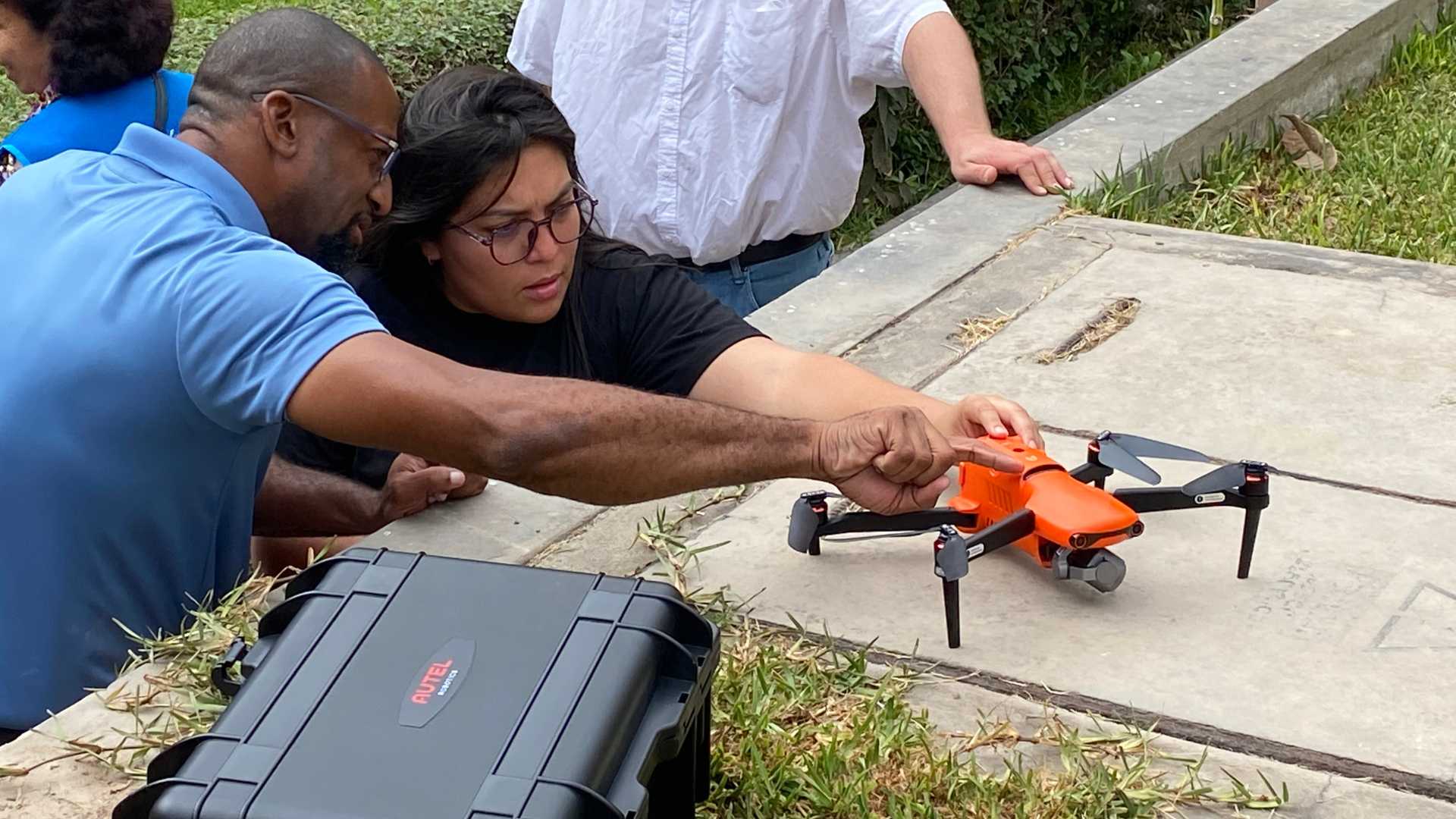
Most locally sourced drones are used for hobby and professional photography and videography, and the software tools that come bundled with them emphasize those use-cases. We believe that if accessible software tools were available, local drone pilots would be willing to capture and share high quality imagery, resulting in a greater supply of accurate, up to date information about the world. Reducing the barrier to entry could help mobilize thousands of volunteers to contribute time and data when it is most needed. Removing these barriers is what we intend to do.
Our mission is to develop the basic digital infrastructure that will allow the humanitarian sector, and more crucially, “on the ground” communities, to collect and use drone generated data in an open and secure manner. Our team is working on the design and development of Open Drone and Aerial Tasking Manager (DroneTM). DroneTM is an integrated digital public good solution that aims to harness the power of the crowd to help generate high resolution aerial maps of some of the most vulnerable and disaster prone communities across the world. DroneTM’s innovative platform allows drone pilots in developing countries to access job opportunities and contribute to creating high-resolution datasets for disaster response, and community resilience. By harnessing the power of crowdsourcing, DroneTM not only empowers local drone pilots but also enhances the efficiency and effectiveness of disaster response efforts worldwide.
Humanitarian OpenStreetMap Team (HOT) is excited to start this new venture in partnership with Naxa, together with the Governments of Dominica and Saint Lucia, and the support of the Global Facility for Disaster Reduction and Recovery (GFDRR). This venture will provide a new avenue for communities to collect disaster relevant data, advocate for their needs, and build their resilience. GFDRR is a pivotal organization playing a key role supporting vulnerable nations to prepare for and respond to natural hazards and climate change. Their efforts significantly contribute to saving lives and building sustainable, disaster-resilient communities worldwide. Naxa is a leading geo ICT specialized software firm based in Kathmandu, Nepal, and HOT’s long term partner in several projects. With an impressive experience in several projects across the global south, they bring technical expertise and contextual understanding to the table.
Digital platforms should exist to serve their users, and the best way to ensure this is a sound co-development process, engaging all stakeholders from the beginning. The Caribbean is one of the most fragile regions in the world, prone to the effects of several natural disasters. By engaging the governments and communities of Dominica and St Lucia; local inputs will help shape the tools used on the ground, as well as build technical capacity to be utilized across the region.
At Humanitarian OpenStreetMap Team, our approach is open and collaborative. We believe in building global open tools for the communities, especially those vulnerable. We believe that digital public goods need to be built with an open technological and cultural perspective. We are truly fortunate to have an amazing team with the right motivation to move forward.Join us on this journey to make relevant geographic data open and available when it’s needed most, enabling every country and community to make critical, informed decisions for their wellbeing and safety.