Paul Uithol
StaffDeputy Director, Tech & Data
Bio
Deputy Director, Tech & Data with Humanitarian OpenStreetMap Team. I manage HOT’s field programs and country teams globally. This includes data collection & mapping programs with key government, NGO and private sector partners across sectors such as disaster and refugee response, urban planning, health emergencies, and disaster risk management.
I’ve worked with HOT since early 2015, originally managing mapping projects such as “Ramani Huria” in Tanzania, and have continued supporting the growth and expansion of our communities and projects across the world. I immensely enjoy the combination of the educational aspects, local skills and capacity building, and supporting (local) governments and NGOs to incorporate open geospatial data into their thinking, policy and decision-making across a wide range of sectors and use cases.
This means promoting and improving the availability and applicability of open maps and data everywhere - by working with our country teams (with a mix of international and local staff), establishing operations in new countries, overseeing field operations & implementation, developing curricula and mapping methodology, and stakeholder workshops and training.
I’ve been involved in digital mapping and cartography since early 2000, and have a wealth of experience in open data, open mapping & OpenStreetMap, participatory mapping, location-based services and GIS (Geographical Information Systems), combined with excellent technical ability and organizational and management skills. I’ve worked and led projects in Aruba, Botswana, the Democratic Republic of Congo, Ghana, Indonesia, Liberia, Mali, the Philippines, Tanzania, Turkey, Uganda, and Zambia.
Posts
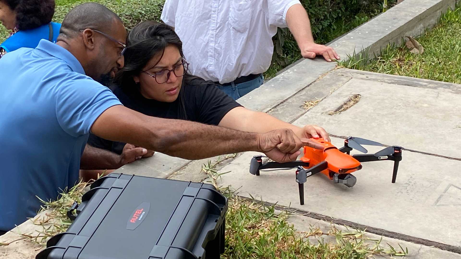
Together we map for good: building the Open Drone Aerial Tasking Manager
Leveraging drones and crowdsourcing, DroneTM equips local pilots and disaster-prone communities with tools to create high-resolution aerial maps, enhancing disaster response and community resilience.
Juntos mapeamos por el bien: construyendo el Gestor de Tareas Open Drone Aerial Tasking Manager
Aprovechando drones y crowdsourcing, DroneTM equipa a pilotos locales y comunidades propensas a desastres con herramientas para crear mapas aéreos de alta resolución, mejorando la respuesta a desastres y la resiliencia comunitaria.
Juntos mapeamos para o bem: construindo o Open Drone Aerial Tasking Manager
Aproveitando drones e crowdsourcing, a DroneTM equipa pilotos locais e comunidades propensas a desastres com ferramentas para criar mapas aéreos de alta resolução, melhorando a resposta a desastres e a resiliência comunitária.
Launching HOT’s responsible and ethical data framework
At the Humanitarian OpenStreetMap Team, we promote open and accessible data. What happens, though, when open data inadvertently brings attention to the location of something that could cause harm to the people in that area?
Lancement du programme de données responsables et éthiques de HOT
À Humanitarian OpenStreetMap Team, nous encourageons l’ouverture et l’accessibilité des données. Mais que se passe-t-il lorsque des données ouvertes attirent par inadvertance l’attention sur...
Las necesidades de datos cambian a lo largo del ciclo de vida de la gestión de desastres
Ya ha pasado dos meses desde que el primer terremoto de magnitud 7,7 sacudió Turquía y Siria el lunes 6 de febrero. Aunque se trata de una emergencia en curso con grandes necesidades humanitarias, ahora estamos pasando a una fase de apoyo continuo a las comunidades afectadas y el inicio de los esfuerzos de reconstrucción donde sea factible hacerlo. A medida que cambia la fase de la respuesta a desastres, también cambian las necesidades de datos y los requisitos de datos y calidad.
Changing Data Needs Through the Disaster Management Lifecycle
We’re now about a month and a half after the initial 7.7 magnitude earthquake hit Turkey and Syria on Monday, 6 February. Even though it is an ongoing emergency with vast humanitarian needs, we are now moving into a phase of continuing support to the affected communities and the start of rebuilding and reconstruction efforts where it is feasible to do. As the phase of disaster response changes, so do the data needs and data and quality requirements.
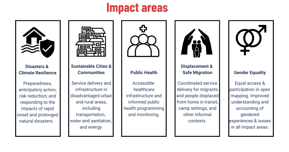
Why all this data? Using OSM data in HOT’s 5 Impact Areas
OpenStreetMap (OSM) was created to provide and enable the free and open creation of geospatial data, regardless of background, location or budget. And it works! Since its creation in 2005, OSM has grown to include ever expanding and deepening coverage of various base map layers and has now widely become a go-to spatial data platform for many users.
Working together for better OSM data quality
What we learned at State of the Map 2022
Data Principles
At HOT, open mapping communities and program teams face unique challenges in how we work with data:
La cartographie en situation de conflit
Des événements et des expériences récentes, dont les événements survenus l'an dernier en Afghanistan et la guerre en Ukraine, ont incité HOT - et l'ensemble de la communauté de cartographie humanitaire - à réexaminer ce qui peut être fait dans le context de OpenStreetMap, sur le plan éthique et pratique, pour aider les populations touchées par des conflits.
Mapping in Conflict
Recent events and experiences, including last year’s developments in Afghanistan and the war in Ukraine, have prompted HOT—and the wider humanitarian mapping community—to revisit what can be ethically and practically done to help people caught in conflict within the context of OSM.
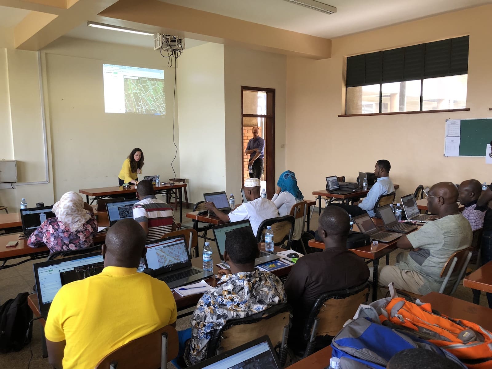
Open Cities Africa Kicks off in Kampala
The latest installment of the Open Cities project, Open Cities Africa, from the World Bank kicked off last week in Kampala. We were there...
Field surveying in Botswana to support the National Malaria Programme
Although a lot of progress has been made to combat malaria, and yearly deaths worldwide have declined from over 1 million in 2000 to...
Team in Istanbul conducts training for Small Projects Istanbul
As part of HOT’s mission in Istanbul to grow the OSM community and to provide training to urban refugees to map their communities and...
Kicking off the “Crowdsourcing Non-Camp Refugee Data” project
In January, we started work on a new mapping project in Uganda and Turkey. During this project, we will be mapping parts of Istanbul...
New project: “Real Time Financial Location Planning and Research”
Humanitarian OpenStreetMap Team (HOT) announces it is a Grand Challenges Explorations winner, an initiative funded by the Bill & Melinda Gates Foundation. HOT will pursue an innovative global health and development research project, titled “Real Time Financial Location Planning and Research”.
Ramani Huria: how are the maps being used in the wards?
(Guest post by Mercedes Hoffay, Master of Public Administration Candidate - Columbia University).All policy students are obsessed with the effectiveness and feasibility of policies and programs that governments implement. So when we find a tool that allows significant efficiency gains in government planning, we are thrilled. That is how we felt when we embarked on our Graduate Capstone Project to evaluate the Humanitarian OpenStreetMap Team’s work in Tanzania and their role in Dar Ramani Huria.
A day mapping in Dar Es Salaam: drainage in Chang'ombe
Guest post by Kathryn Davis, Columbia University.January 14th, 10:30am. We arrive in Chang'ombe ward (an industrial area in Dar es Salaam) after weaving in and out of traffic in the project bajaj (rickshaw) through different neighborhoods. Johannes Peter, a seasoned mapper with the Dar Ramani Huria project, takes another look at his drone imagery printout of the area, and indicates that we’ve arrived at our starting point.Mappers like Johannes detail key drainage and water infrastructure that hasn't been digitized before, and that can be used for disaster risk reduction planning and flood resilience. Almost immediately, we see drainage on the right side of the wide dirt road, and mark it on the map...
"My mapping experience" by Hillary Musundi, student at Uganda Christian University.
When I was first told about mapping, I thought it was something to do sitting indoors on your laptop. Well, it’s also a bit like that, but little did I know the adventure that awaited me. I quickly got acquainted with the whole mapping process after the training we received on the first two days (ed: 11 and 12 January). Earlier I had met Douglas Ssebaggala who had showed us how to use OpenMapKit and JOSM. I just couldn’t wait to start my journey in the world. After the training, I felt I was ready.
First week of mapping in Mbale, Uganda
As we enter our second week in Mbale, we've started surveying the surrounding districts of Sironko, Manafwu and Baduda today (Monday, January 18th). These...
Mapping Financial Services in Uganda - starting January 2016!
As we near the end of the year, there’s many stories that stand out and define the past year. One that I’d like to highlight here is a positive one - the continuation of the sharp decline of absolute poverty over the past year.One of the factors that’s shown to contribute to raising people’s standards of living, especially for those living on next to nothing, is financial inclusion. And one of the success stories here is the rise of mobile money - at number 5 in the Gates Foundation list of Good News stories for 2015: “Mobile Banking Exceeds Our Optimistic Projections”.The mobile money sector in countries like Uganda is growing at an enormous pace, processing over 500 million transactions in 2015, with many more people using mobile money than a traditional bank account - and these services only came into existence six years ago!With the HOT project on “Mapping Financial Services” in Uganda (more background on the CGAP blog here), we’ll be updating, opening up and increasing access to data on financial services, and specifically mobile money services, for Uganda. With only a short time to go until we start our field survey on January 5th, the project team is working hard to finalize our training curriculum, logistics and mapping process.
Ramani Huria at the Africa Open Data Conference
The Ramani Huria team was proud to be part of the first Africa Open Data Conference in Dar es Salaam, Tanzania. The event drew speakers and attendees from all over the world, to discuss, debate and showcase ‘local and global examples of open data being produced, published, visualized, and captured in creative ways across Africa.’
"Ramani Huria" Scale Up - Dar es Salaam, 6th July, 2015
The "Dar Ramani Huria" Scale Up Workshop took place at Nkrumah Hall, University of Dar es Salaam, on Monday 6th of July. Over the...






.jpg)


