News — 04 June, 2024
Strengthening Indigenous Forest Management with Open Mapping in Guatemala
Explore the transformative impact of the OpenCities project in San José Poaquil, Guatemala, where geospatial data and community engagement are enabling indigenous forest management, and helping communities adapt to climate change.
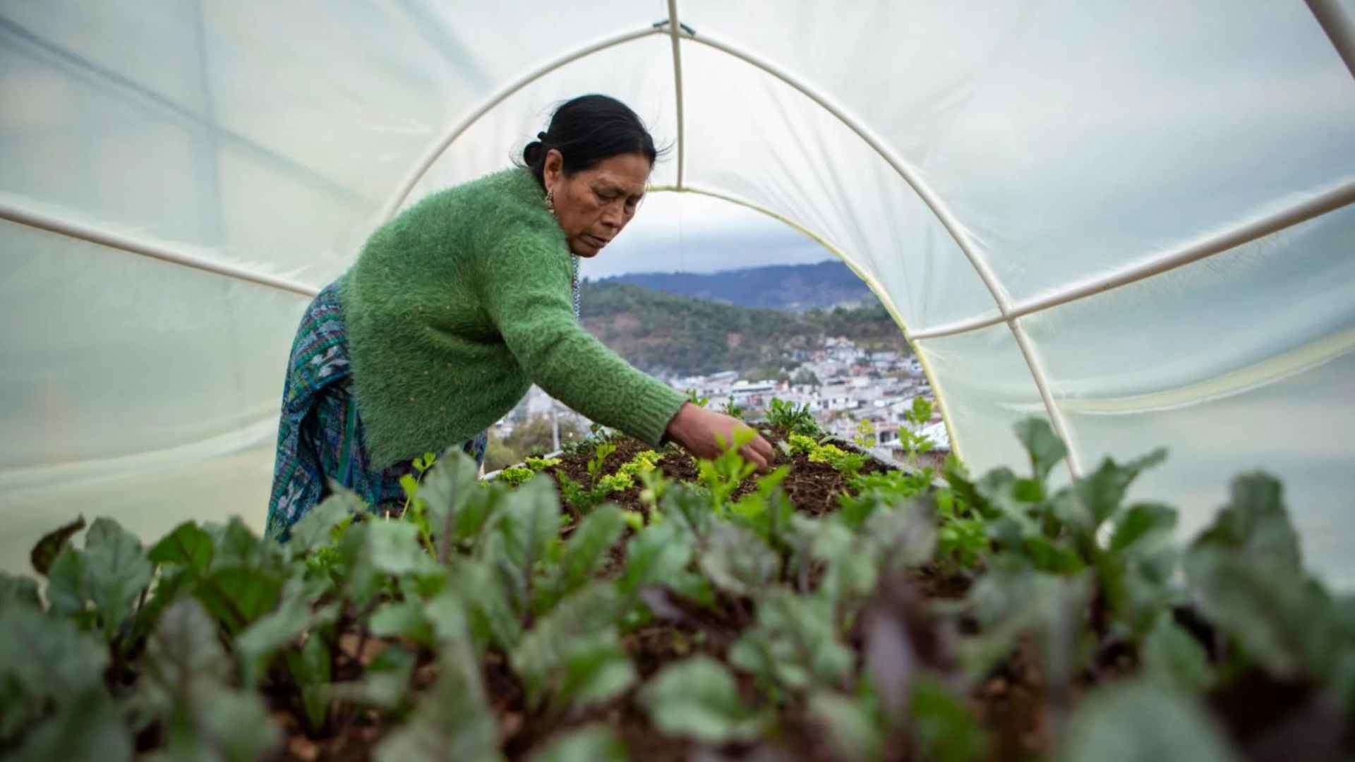
Guatemala is considered the fifth biodiversity hotspot in the world, and their forests are not only a source of diverse habitat and support livelihoods, but are crucial for climate change adaptation and mitigation. Over the years, the biodiversity and the livelihoods have been impacted by the increasing environmental pressures.
The OpenCities project in San José Poaquil, spearheaded by the Latin America and the Caribbean Open Mapping Hub (LAC Hub), has played a pivotal role in enhancing community forest management by using geospatial data and encouraging active indigenous community participation. Through capacity building and detailed mapping, the project has provided valuable insights into the communal forest’s various layers, natural and cultural values, and threats like deforestation, illegal extraction, and forest fires.
In this blog, Carlos Duarte, Director of Geotecnológica in Central America and the implementing partner of OpenCities Guatemala, shares his field experiences, and strategies for ensuring long-term sustainability of the project and community participation. He explores the efforts of the indigenous Brotherhood of San José Poaquil in managing communal lands and forests, the role of geospatial data in sustainable management, and the integration of local culture and traditional knowledge.
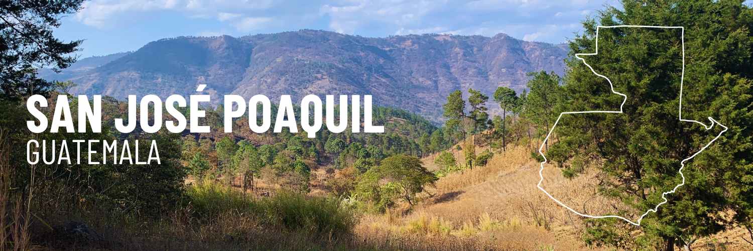
The OpenCities Project in San José Poaquil, Guatemala
San José Poaquil is a municipality in the Chimaltenango Department, made up of indigenous communities of the Kaqchikel people. The Brotherhood of the town of San José Poaquil is an organization with pre-Hispanic origins, administering indigenous justice and also taking care of sacred places, communal lands, and forests that belong to the town of San José Poaquil, since 1902.
The OpenCities Project in San José Poaquil focused on developing a concept called “Community Forest Management Model supported by geospatial data.” The central idea behind this concept is to promote and support the formulation of projects and initiatives for forest conservation, forest restoration, and sustainable forest management at the community level, through a capacity-building process for the generation and use of geospatial data and the creation of an information platform that contributes to planning, monitoring, and decision-making on sustainable forest management projects in the community of San José Poaquil.
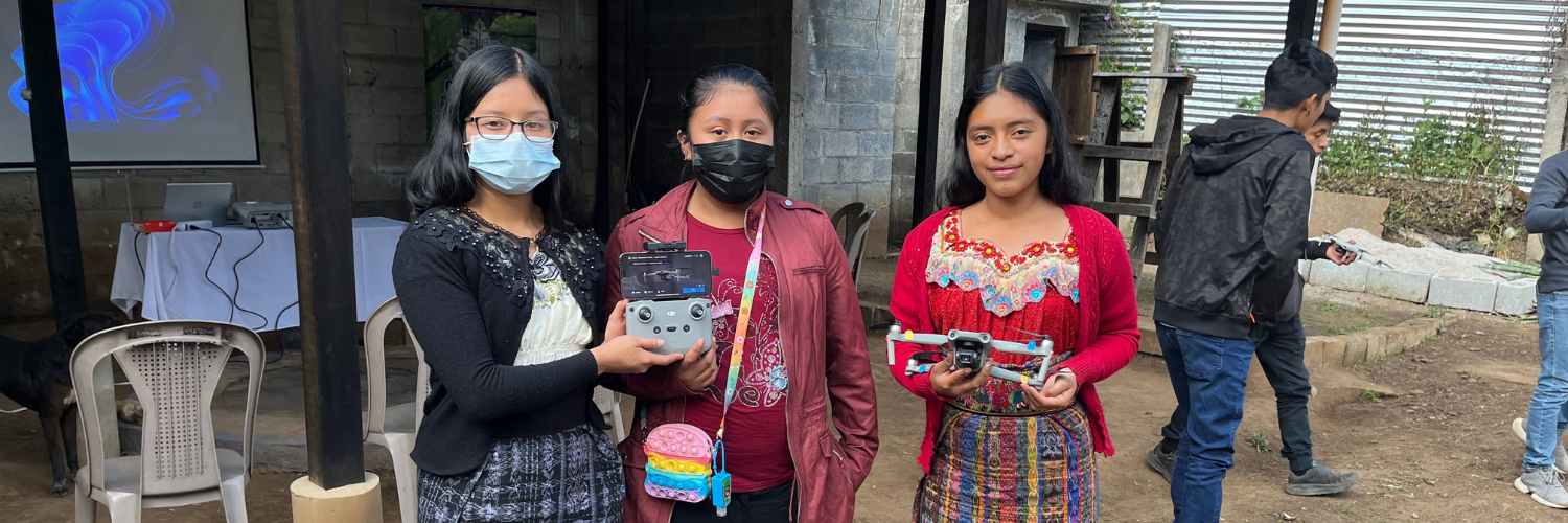
The project created local capacities to generate geospatial data that improved the effectiveness of forest management in San José Poaquil. Participatory and remote mapping activities focused on creating key data for the formulation, implementation, and monitoring of the forest management plan, such as delineating the communal forest area according to legal documentation, mapping the different forest strata in community lands, the natural and cultural value attributes of the forest such as water sources for the municipal headwaters, sites of importance for gathering medicinal plants, sacred sites for the Kaqchikel people, sites with ecotourism potential, etc. Threats to the forest, such as agricultural frontier, sites with forest fire incidence, and illicit extraction of forest products were also mapped.
The Project developed a set of mobile applications designed to continuously monitor forest threats such as deforestation, illicit extraction, forest fires, and forest pests among others. These applications generate georeferenced information on the presence of the main forest threats, and information that is used by the guild and other community actors to make timely decisions, such as where to reforest, where to patrol, where and when to deploy fire control brigades, etc.
The project anticipates that the production of basic cartography to formulate a community forest management plan, tools for continuous monitoring of forest threats, and the strong commitment of the guild as a local counterpart will help achieve an effective and long-term contribution to the conservation of the community forest. This will be a cornerstone in community resilience to climate change, as these forests are not only a source of water for human consumption and agriculture, but also supports livelihoods directly.
Challenges and Sustainability
One of the significant challenges of this project is the level of interaction with the local culture and traditional knowledge for forest management. From the beginning of the project, efforts were made to build a strong relationship with the local ancestral authorities, who were included in the decision-making and project strategy design from the very inception stage, providing valuable feedback on how to interact with people, and on use of local languages as a mark of respect to their culture and knowledge. Furthermore, the community forest management plan that the community is currently developing incorporates the principles of ancestral knowledge for forest management and combines them with modern techniques of forestry and forest conservation.
In order to ensure long-term sustainability of the project’s achievements several strategies were implemented: only open-source software tools were used in all project phases, including the development of mobile applications and the design of the project’s data visualization web platform, in order to avoid the need to purchase software in the future that could threaten continuity.
A governance and support mechanism was developed in which our local partner, Fundación Sotzil, will accompany the San José Poaquil Guild after the project’s completion to continue activities, provide technical assistance, and contribute to the persistence of achievements. Sotzil is a non-governmental organization that works with indigenous communities in Guatemala on forest sustainability issues. Additionally, the project made efforts to create a community of young mappers and older adults with ancestral knowledge of the forests - large, varied, and motivated enough to maintain their long-term connection with the project. Finally, Geotecnológica, the project implementer partner, has continued to make frequent visits to San José Poaquil and offer remote assistance when needed.
Successes and Future Prospects
While the project was very successful, it also faced significant execution challenges. Coordination of activities due to reduced time commitment from local authorities and project participants led to significant delays. Political activities and elections also added to the challenge in securing time and participation of local participants.
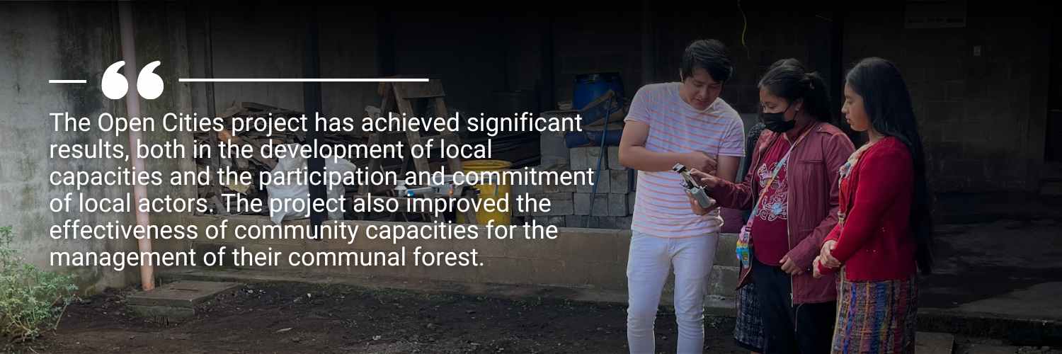
The Open Cities project has achieved significant results, both in the development of local capacities and the participation and commitment of local actors. The project also improved the effectiveness of community capacities for the management of their communal forest.
This Project model has caught the attention of important organizations such as the World Bank, which maintains a significant financing and investment program in Guatemala’s forest resources, to the point of requesting a proposal to evaluate the possibility of replicating the model in other indigenous communities committed to sustainable management and conservation of their communal forests in Guatemala. The potential to scale up this model and contribute to the sustained effort of indigenous communities to care for and conserve their forests, gives immense hope for a positive change.
The OpenCities project in San José Poaquil has shown the powerful impact of combining geospatial data with community engagement for indigenous forest management. By integrating traditional knowledge with mapping techniques and technologies, the Kaqchikel community has significantly improved their ability to manage and protect their forests unvaluable. The project demonstrated that indigenous people, even with low technologic skills, can learn and use technological tools with the correct capacity builiding approach.
San José Poaquil’s experience highlights the importance of blending ancestral wisdom with modern technology to address environmental challenges, offering a blueprint for similar initiatives globally.
This blog was written by: