Tech HOT Spot
On the Front Line of Climate Change: End-to-End Open Mapping Tech for Wildfires
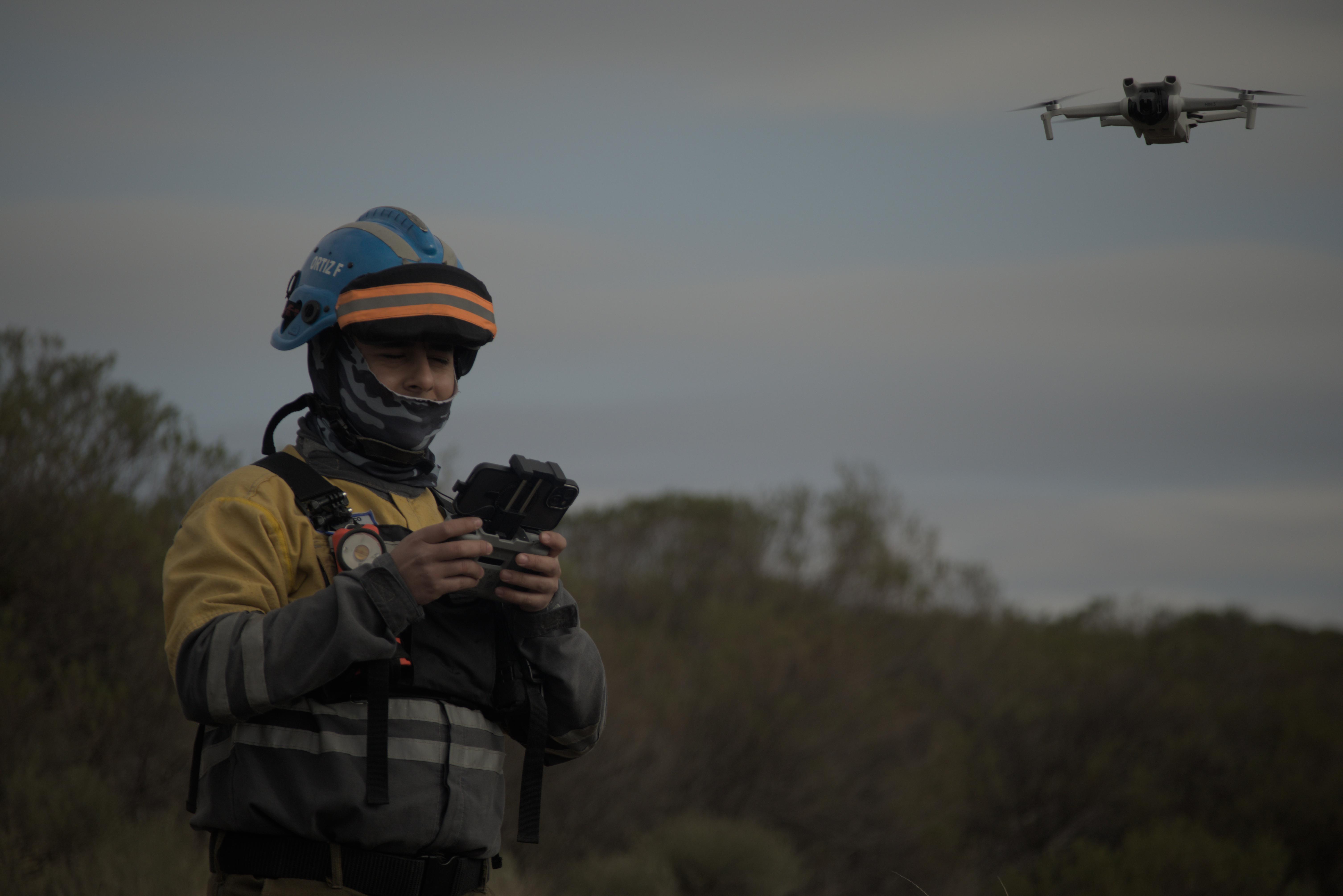
Climate change has led to an increase in wildfire season length, wildfire frequency, and burned areas around the world. The wildfire season has lengthened in many areas due to factors including warmer springs, longer summer dry seasons, and drier soils and vegetation. Given this context, people from the Alpa Corral region in Córdoba, Argentina, who want to protect our native forests and towns, met from July 26 to 28 to see how the Humanitarian OpenStreetMap Team’s End-to-End Open Mapping Tech can help people prepare themselves to face disasters together.
Juntos mapeamos para o bem: construindo o Open Drone Aerial Tasking Manager
Aproveitando drones e crowdsourcing, a DroneTM equipa pilotos locais e comunidades propensas a desastres com ferramentas para criar mapas aéreos de alta resolução, melhorando a resposta a desastres e a resiliência comunitária.
fAIr in Production is Available for Everyone
We are nearly halfway through 2024 and are excited to share some updates on HOT's AI-assisted mapping service (fAIr) - specifically the successful fAIr production release on 31 May 2024!
Training Open Mapping Tech for Wildfires in Córdoba, Argentina: Workshop in Unión de Los Ríos
On April 1 2024, we did a workshop called “Open Mapping for Inclusive and Sustainable Development. Mapping Tech in Wildland Areas: Forest Fires Edition” in Unión de Los Ríos, Córdoba, Argentina.
Our End-to-End Mapping Solution: Mapping exercise at CliGeos Summer School
In April 2024, we had the opportunity to demonstrate the power of open mapping tools and workflows at the CLImbing for CLImate GEOspatial School (CLIGEOS-2024) in Annapurna-3, Lumle-Pokhara, Nepal.
Our End-to-End Mapping Solution: Training the Balinese Disaster Response Team in Karangasem
HOT envisions an ecosystem of open mapping technology that enables everyone, and in particular vulnerable communities, to make the right open map data available in order to use that to make a positive impact on people’s lives.
Field Tasking Manager (Field-TM)
Collaboration and communication among key players are critical to a successful field mapping campaign and data collection effort. Leveraging the right tools, such as the Field Tasking Manager (Field-TM), can significantly enhance coordination and streamline communication among team members, improving field survey efforts and making them more efficient and accurate.
HOT Export Tool: try out the new features!
OpenStreetMap (OSM) is more than the basemap you see on osm.org or in other geospatial services. The database behind the map is full of crowdsourced spatial data with systemized tagging that translates into attributes in GIS systems. For data analysts and cartographers who want to access datasets from OSM for use in QGIS or other similar applications, HOT’s export tool just got much more helpful!
Tasking Manager: Insights from the NET Promoter Score Survey
Tasking Manager stands as a key solution in the realm of collaborative mapping, empowering users to contribute to meaningful projects on OpenStreetMap. As part of our commitment to continuous improvement of the tool, we conducted a Net Promoter Score (NPS) survey at the end of December 2023 to delve into the sentiments and experiences of our Tasking Manager users. The invaluable feedback, received from 59 users globally, has opened a window into user satisfaction, areas of strength, and opportunities for enhancement.
HOT CommunityWG x Tech&InnovationWG Communications Skillshare Series - what a blast to start the year!
THANK YOU FOR JOINING our Communications Skillshare Series!
fAIr - what to expect in 2024!
Learn about the most recent updates on HOT’s AI-assisted mapping service (fAIr) and what to expect in 2024!
Data for sustainable development: The Data Festival 2023
The Data Festival recently held in Uruguay was the opportunity for the Open Mapping Hub to introduce to organizations and institutions open cartography applications and its humanitarian approach.
Launching HOT’s responsible and ethical data framework
At the Humanitarian OpenStreetMap Team, we promote open and accessible data. What happens, though, when open data inadvertently brings attention to the location of something that could cause harm to the people in that area?
HOT Tasking Manager - Welcome to NAXA
We are very excited to announce that we will be working with NAXA, who will provide software development support for the evolution of the HOT Tasking Manager.
HOT and CDEMA sign agreement to enhance disaster management in the Caribbean with collaborative mapping
HOT and CDEMA -the Caribbean Disaster Emergency Management Agency- have signed a collaboration agreement to strengthen CDEMA's geospatial technological capabilities. Learn the details.
Changing Data Needs Through the Disaster Management Lifecycle
We’re now about a month and a half after the initial 7.7 magnitude earthquake hit Turkey and Syria on Monday, 6 February. Even though it is an ongoing emergency with vast humanitarian needs, we are now moving into a phase of continuing support to the affected communities and the start of rebuilding and reconstruction efforts where it is feasible to do. As the phase of disaster response changes, so do the data needs and data and quality requirements.


