News
Eight New Communities Selected for 2019 HOT Microgrants
Female drone pilots mapping Africa’s largest slum, a youth group changing waste management behaviours in mega-cities, and mappers making Manila more accessible for persons with disabilities. These are a few examples of the eight incredible new community projects that are the recipients of the 2019 HOT Microgrants!
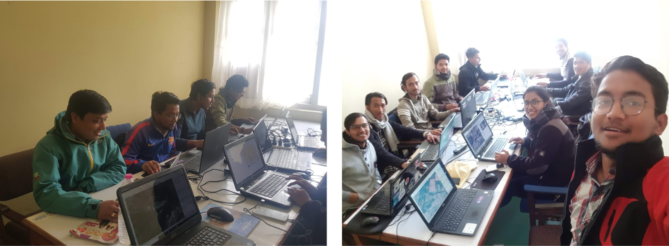
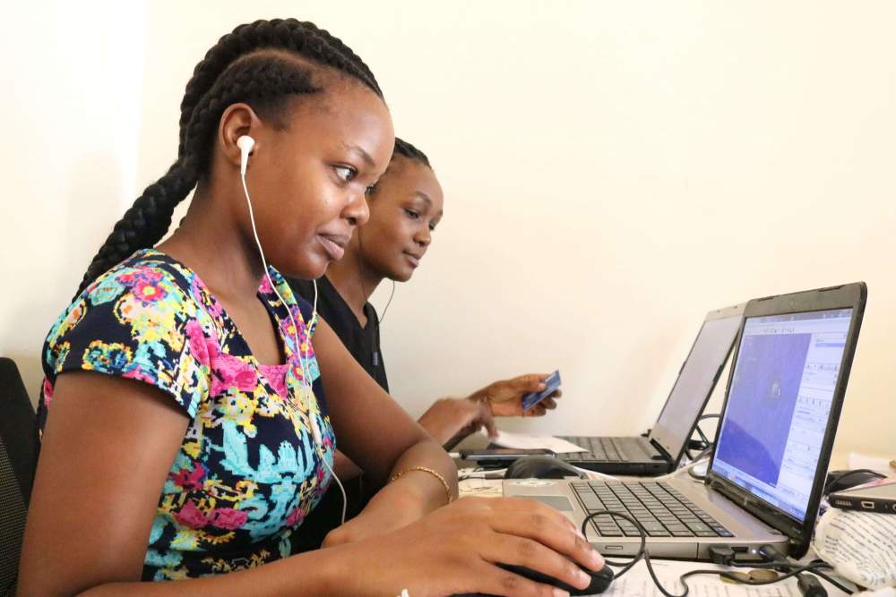
An approach to field data collection in Kathmandu
Guest blog by Gaurav Thapa from Kathmandu Living Labs. Covering the collection process carried out by the team for surveying exposure data in Kathmandu Valley, Nepal as part of the METEOR project.

Mapping Sexist Publicity
Guest blog by Ana Paula Figueroa, 15 years old. Student at GAL School, Cusco, Peru.

Humanitarian Networks and Partnerships Week Roundup
Humanitarian Networks and Partnerships Week is a week when more than 25 networks and partnerships hold annual meetings in Geneva. This year, the event was held from February 4-8 and co-chaired by OCHA and the Swiss Agency for Development and Cooperation (SDC). HOT is a member of two of the networks: the Humanitarian to Humanitarian (known as the “H2H Network”) and the Global Alliance for Urban Crises.
.jpg)
Data generated by students: win-win for all
Guest blog by Peter Ward, GAL School, Cusco, Peru.

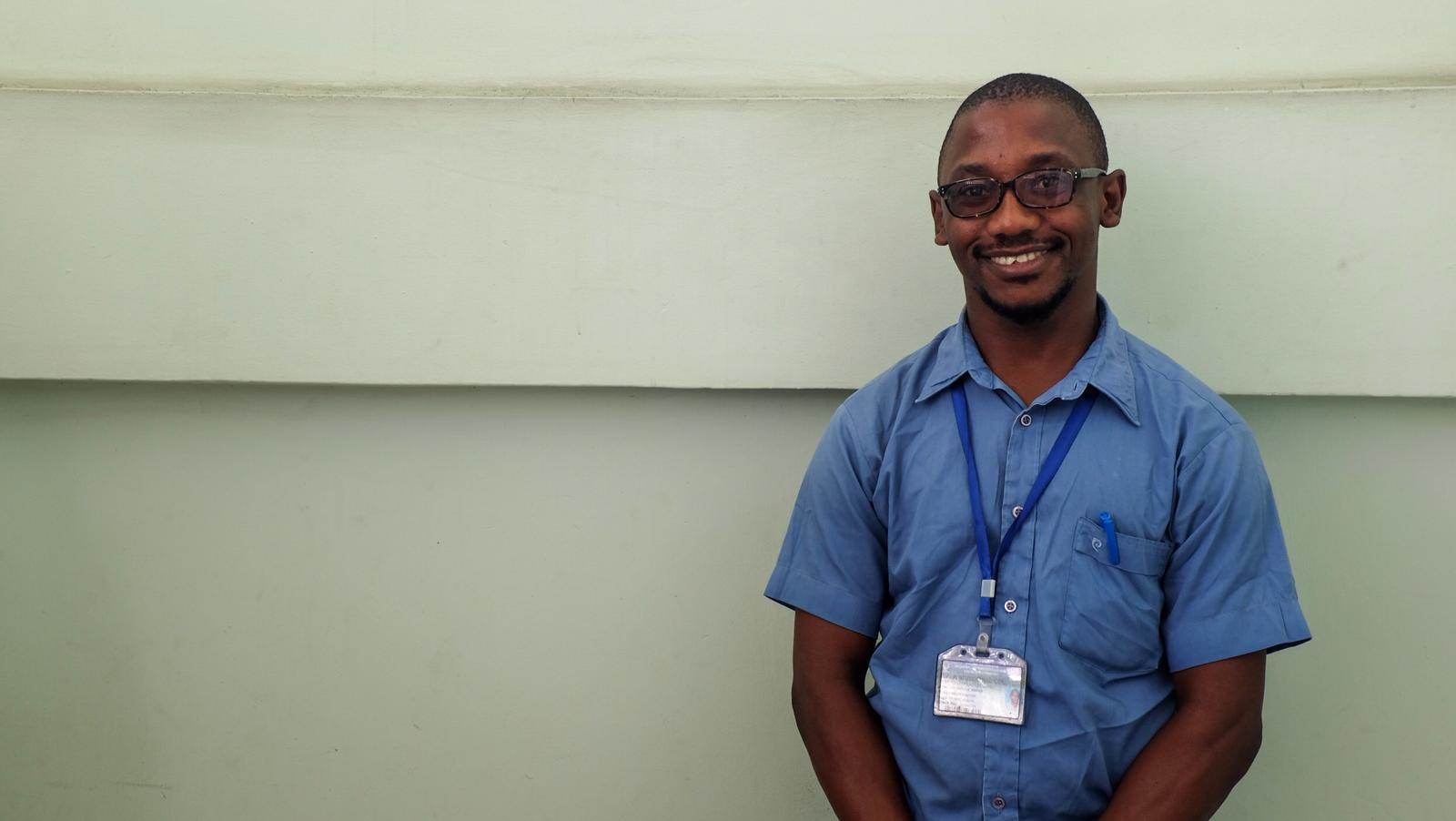
Piloting Tanzania's First Patient Origin Tracking System
Putting hyperlocal data to use at the Amana Regional Referral Hospital in Dar es Salaam. Pictured above is Dr. Omari Mahiza who is helping lead the charge.
Why is it important for youth to create data and manage information?
Guest blog by Abril Gomez, student at GAL School Cusco, Peru. Aged 15.

1 Year & 1 Hundred-Thousand Kilometers with HOT & Facebook
Partnering with Facebook, the HOT Indonesia team has added about 125,000 kilometers (80,000 miles) of road to Indonesia so far.
Tackling Coastal Flooding in Monrovia Slums: Understanding through partnerships, one community at a time
In the informal settlements of Liberia’s largest city, Open Cities Africa is introducing a dynamic open data workflow to support urban planning and protect...

My Experience as a Student Mapper: Open Cities Accra
Open Cities Accra has conducted detailed mapping in Alogboshie community and its environs to improve resilience to natural disasters, especially flooding. Alogboshie, a suburb...

Digitising Kathmandu from above
Guest blog by Gaurav Thapa from Kathmandu Living Labs. Covering the digitisation process carried out by the team for mapping building footprints in Kathmandu Valley, Nepal as part of the METEOR project.
Building Disaster Resilient Countries/Cities Through Open Spatial Data and Exposure Analysis.
Multiple partners have come together under the Meteor project, which aims to understand risk and disaster exposure in order to create resilient cities. Through...
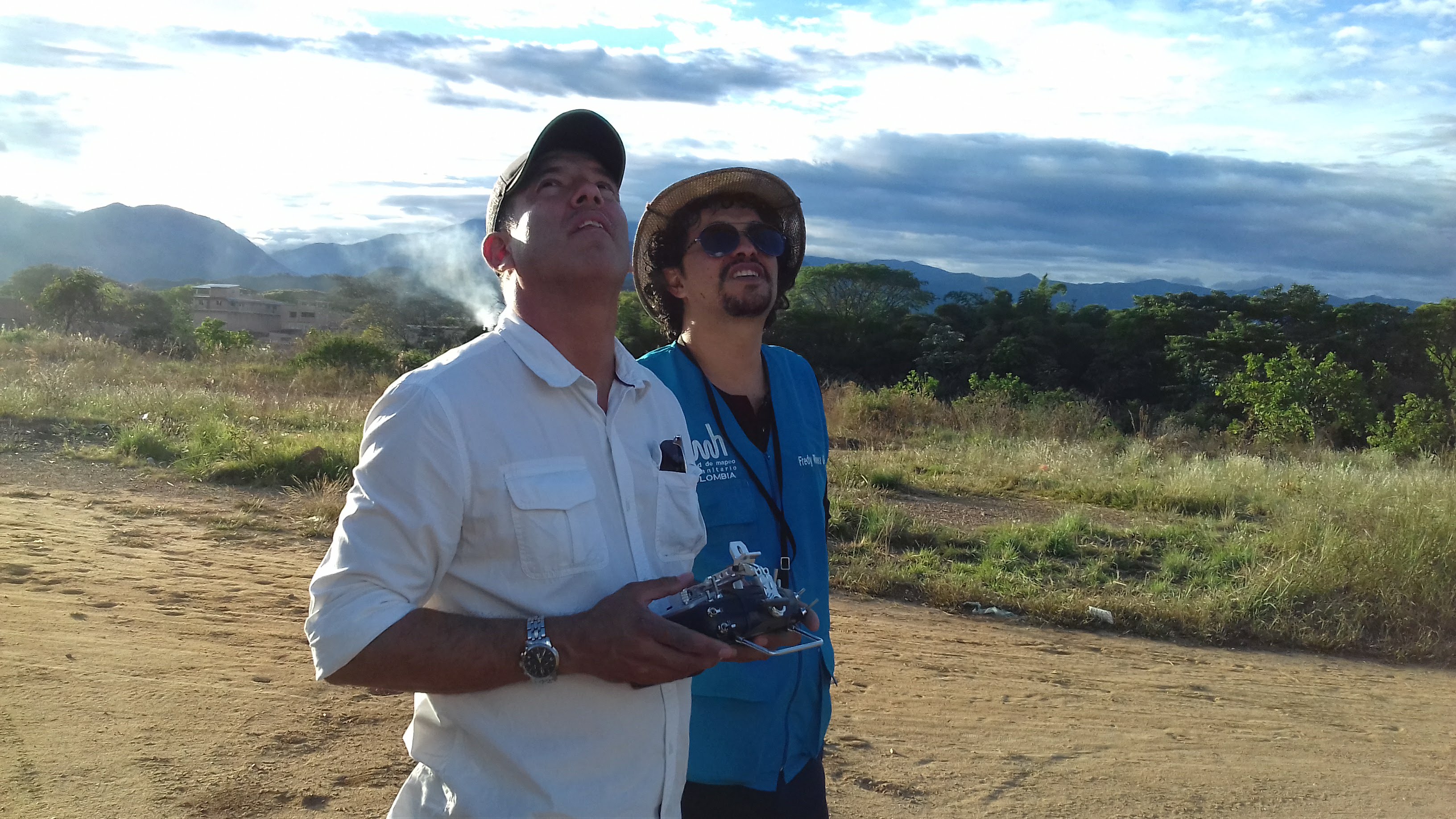
METEOR: Site Visits with Kathmandu Living Labs in Nepal
HOT and KLL set out on site visits across Kathmandu to assess the homogenous zones identified for mapping in OpenStreetMap. These seven zones have been identified as rural, residential, dense residential, urban, industrial, informal, high urban and new industrial. KLL will remotely digitise all the building footprints within the homogenous zones, before collecting detailed attribute information on the ground for a select sample of these buildings.

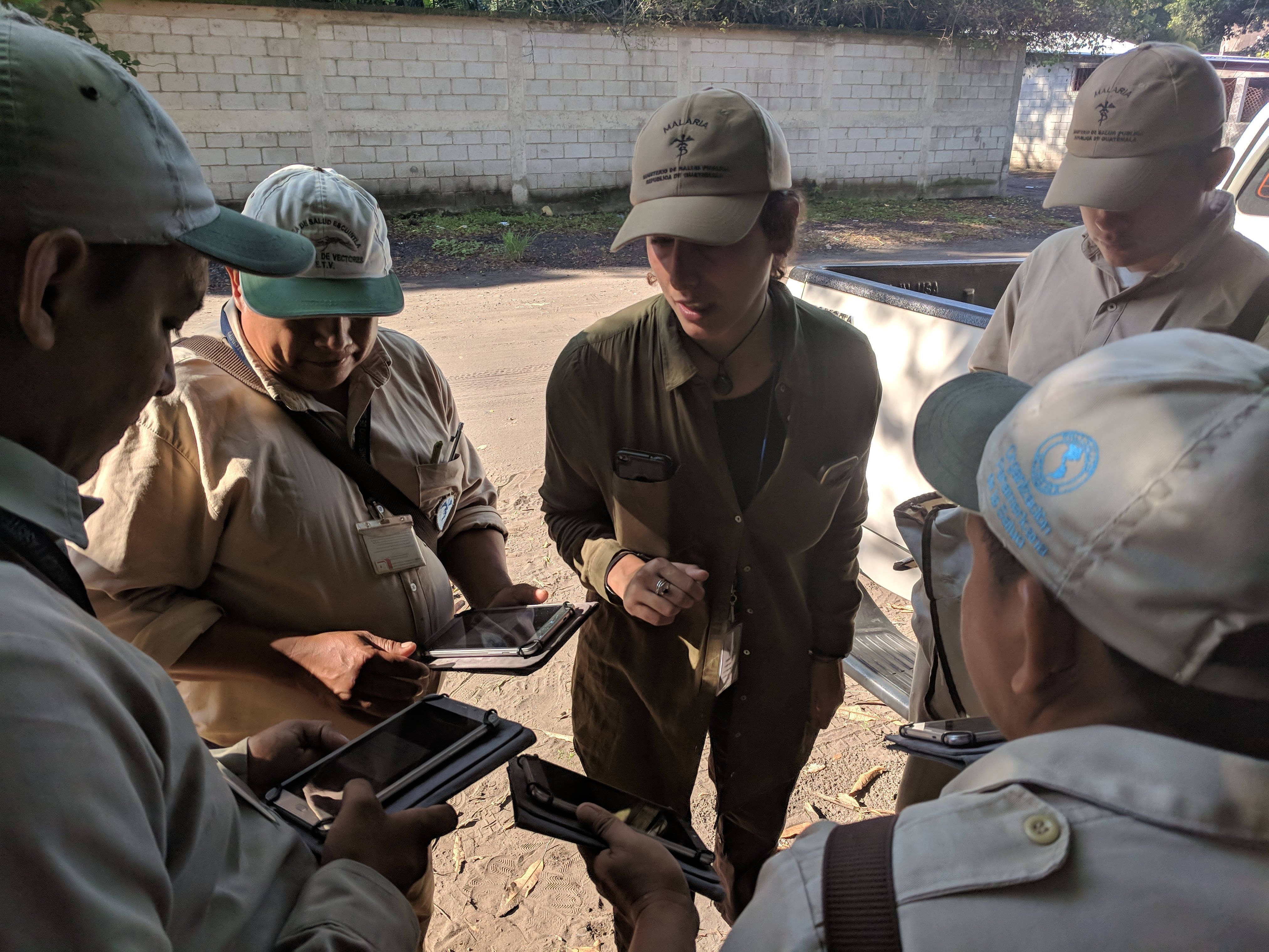
Using open source tools to eliminate Malaria in Guatemala
HOT is supporting the Clinton Health Access Initiative and the Guatemala Ministry of Health to assist local technicians who are in the field fighting Malaria in the area of Escuintla. Guatemala has provided a unique opportunity for HOT to leverage open source tools for use during indoor residual spraying to monitor progress and activities as they occur.
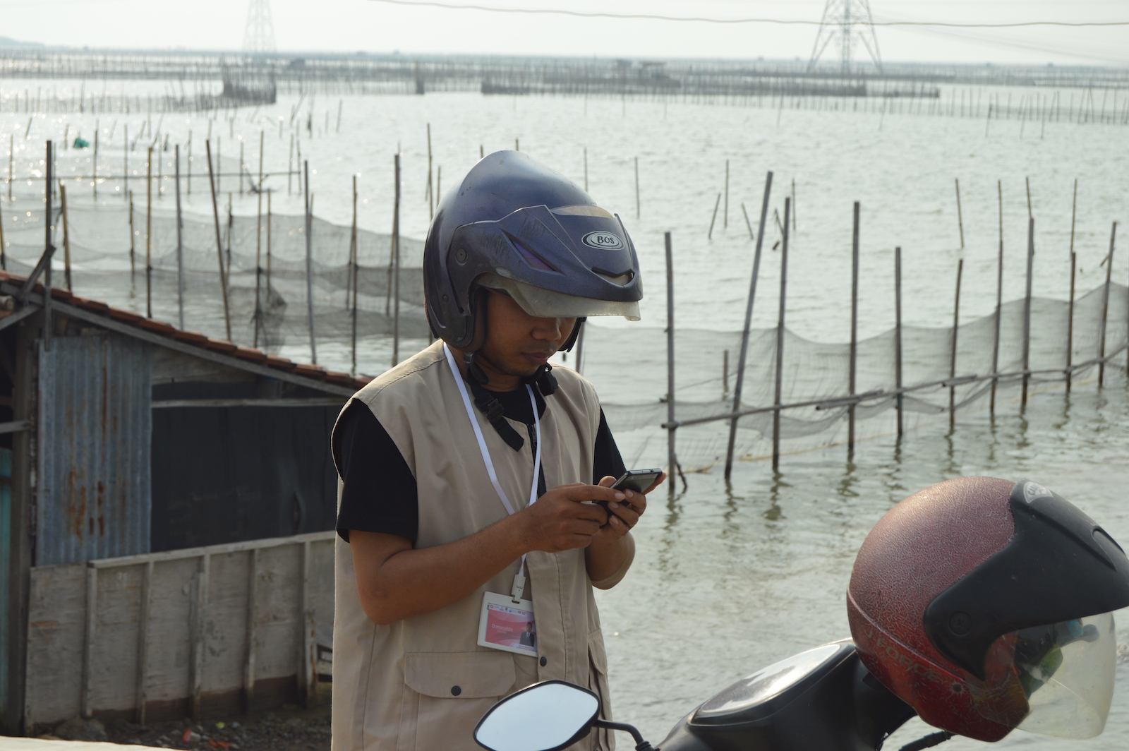
HOT Indonesia Completed Mapping Lifeline Infrastructures in Semarang
Humanitarian OpenStreetMap Team has completed mapping Semarang, the capital and largest city of Central Java. A city of 373.8 square kilometres and a home to over 1,5 million people, Semarang is the fifth largest city in Indonesia. The city's unique topography-- coastal lowland to the north and bumpy highlands to the south--makes it particularly prone to tidal flood and landslides.
Participatory Mapping Toolkit: A Guide For Refugee Contexts
The world continues to witness some of the highest levels of displacement on record, with nearly 70 million people who have been forced from...