News

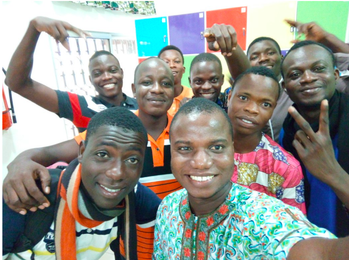
Ripples of HOT Micro Grant's Impact on UniqueMappersTeam Community
Taking off from 12th June,2017,as UniqueMappersTeam and a Local community of OpenStreetMap in Nigeria, I looked forward to some support to empower and sustain...

OSM Benin: growing local mapping with a HOT Microgrant
Guest blog - Luc Kpogbe, OSM Benin
Exploring the possibilities of mapping and identity in Cusco, Peru
Using a Nethope Device Grant to empower young people in Peru

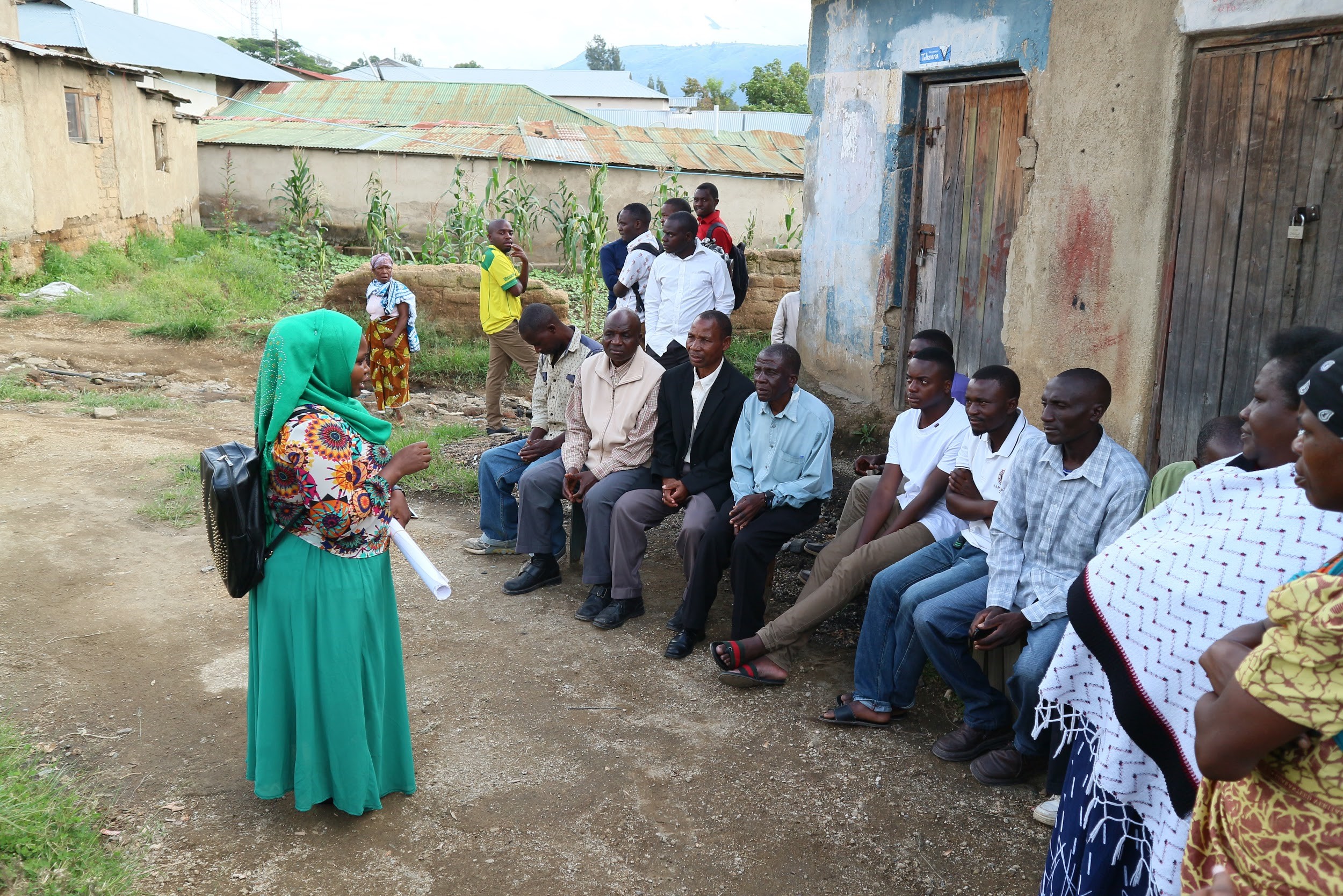
Mapping HIV/AIDS in Tanzania: Using community-generated data to improve health services
Mapping HIV/AIDS in Tanzania
OSM DRC - supporting the Ebola response
On the 8th May 2018, the Ministry of Health announced the 9th Ebola outbreak in the Democratic Republic of the Congo. According to the...

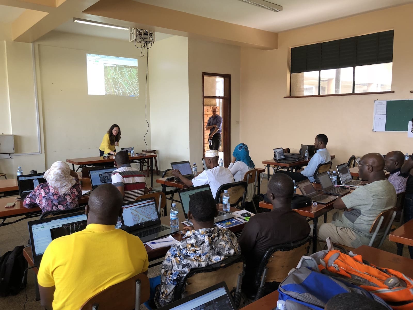
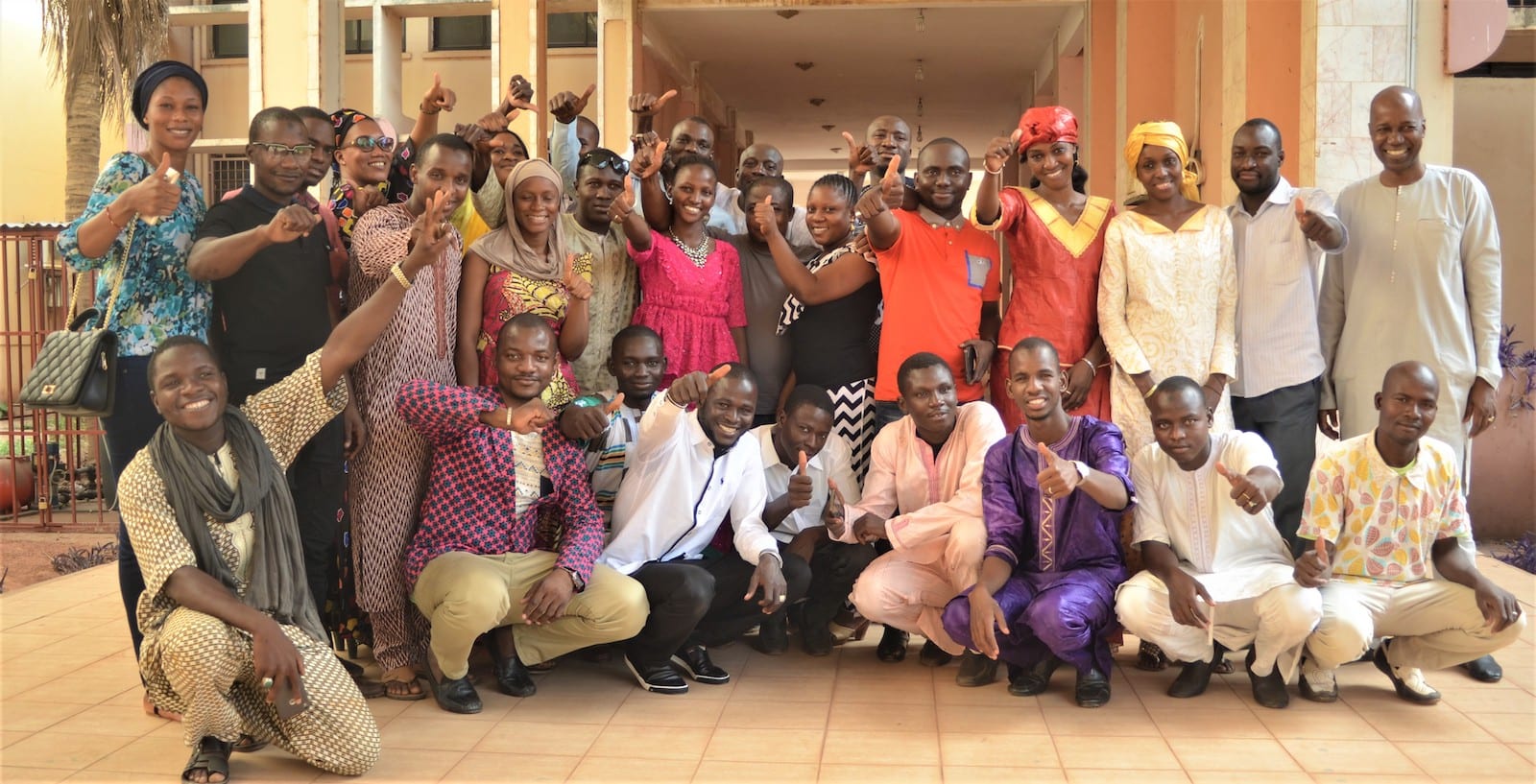
Data Collection Training in Bamako, Mali
Data collection training in Bamako, Mali

Bringing together West African OSM communities: OSM & GIS workshops in Lomé, Togo
OSM & GIS worshops in Togo in May 2018

Open Cities Africa Kicks off in Kampala
The latest installment of the Open Cities project, Open Cities Africa, from the World Bank kicked off last week in Kampala. We were there...
Growing OSM Zambia through the Nethope Device Challenge Grant
Guest blog: Trudy Hope, OSM Zambia lead
UniqueMappersTeam Collaboration with Transparent Earth Nigeria Ltd.
Guest blog - Valerie Odeam Osuamkpe (Ag.Team Secretary General,UMT) and Victor N.Sunday (Team Coordinator)

Map Completeness Estimation and Experimental Analytics for Health
Over the last couple of years, HOT has been working with partners like the Clinton Health Access Initiative (CHAI) and the Botswana Ministry of...

HOT Hosted a Mapathon in the State University of Semarang
In April 16-18, Humanitarian OpenStreetMap Team (HOT) Indonesia collaborated with the State University of Semarang (UNNES) to host a mapathon for the capital of...

Agetic Training Success with OSM Mali
OSM Mali run training for Communication Technologies Agency, Agetic Mali
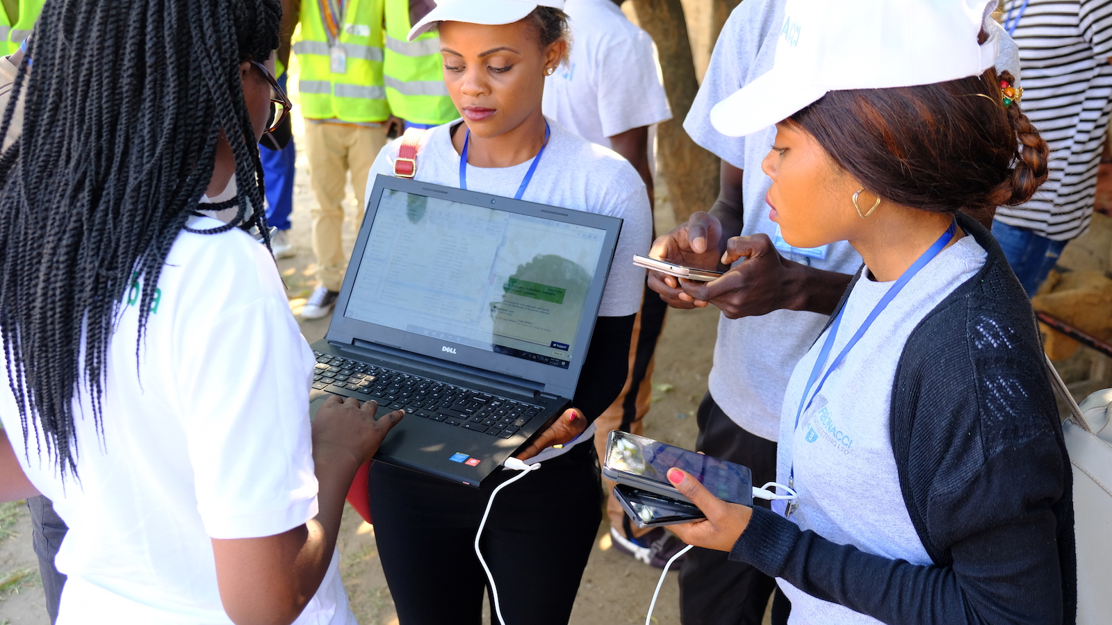
Field surveying in Botswana to support the National Malaria Programme
Although a lot of progress has been made to combat malaria, and yearly deaths worldwide have declined from over 1 million in 2000 to...

Motorcycle Mapping - BodaBodas and 'The Knowledge'
Uganda’s capital city, Kampala, has Uber taxis. It is crazy. They are highly unreliable, not surprisingly given the traffic behaviour here - which could...
