News
-205990.png)
How Maps can Improve Lives
As Humanitarian OpenStreetMap Team (HOT) supports local communities fundraising to put themselves on the map, here are the ways they will be using maps to improve lives!

What we Learnt from Mapping African Megacity Dar es Salaam
Since the project kicked-off in 2015, Ramani Huria, funded by the World Bank and implemented by Humanitarian OpenStreetMap Team (HOT), has managed to map three-quarters of one of Africa’s megacities, Dar es Salaam. As a city that is particularly vulnerable to floods, the team focused their mapping on flood-prone areas, especially in informal settlements where vulnerable populations live.
HOT launches Microgrants 2020: Funding for OpenStreetMap Communities
Is your local OpenStreetMap community mapping to improve lives? We could have a microgrant for you! Pitch your project and be in for a chance to receive funding as part of HOT’s annual fundraising campaign to support global OpenStreetMap communities.
-217334.jpg)
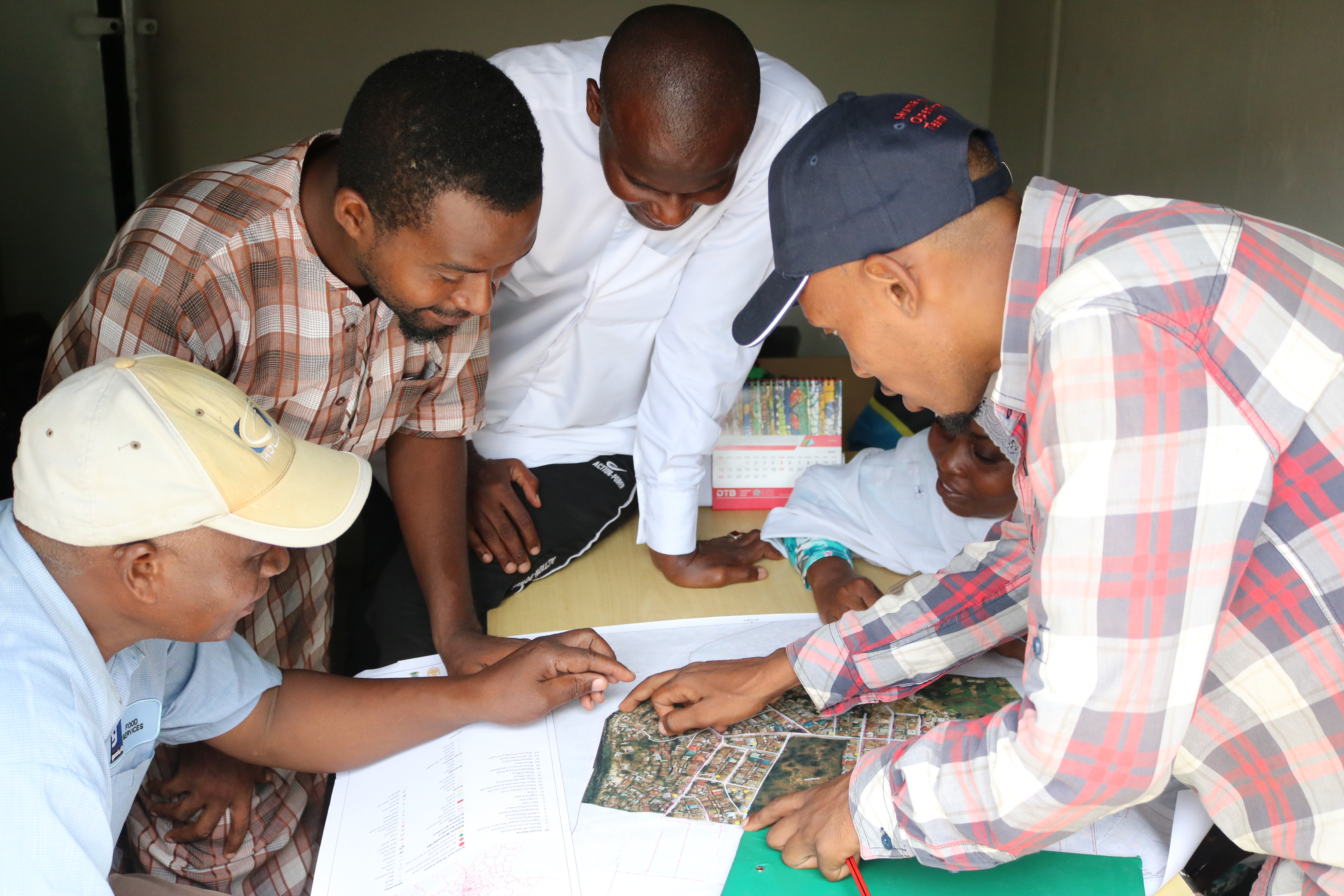
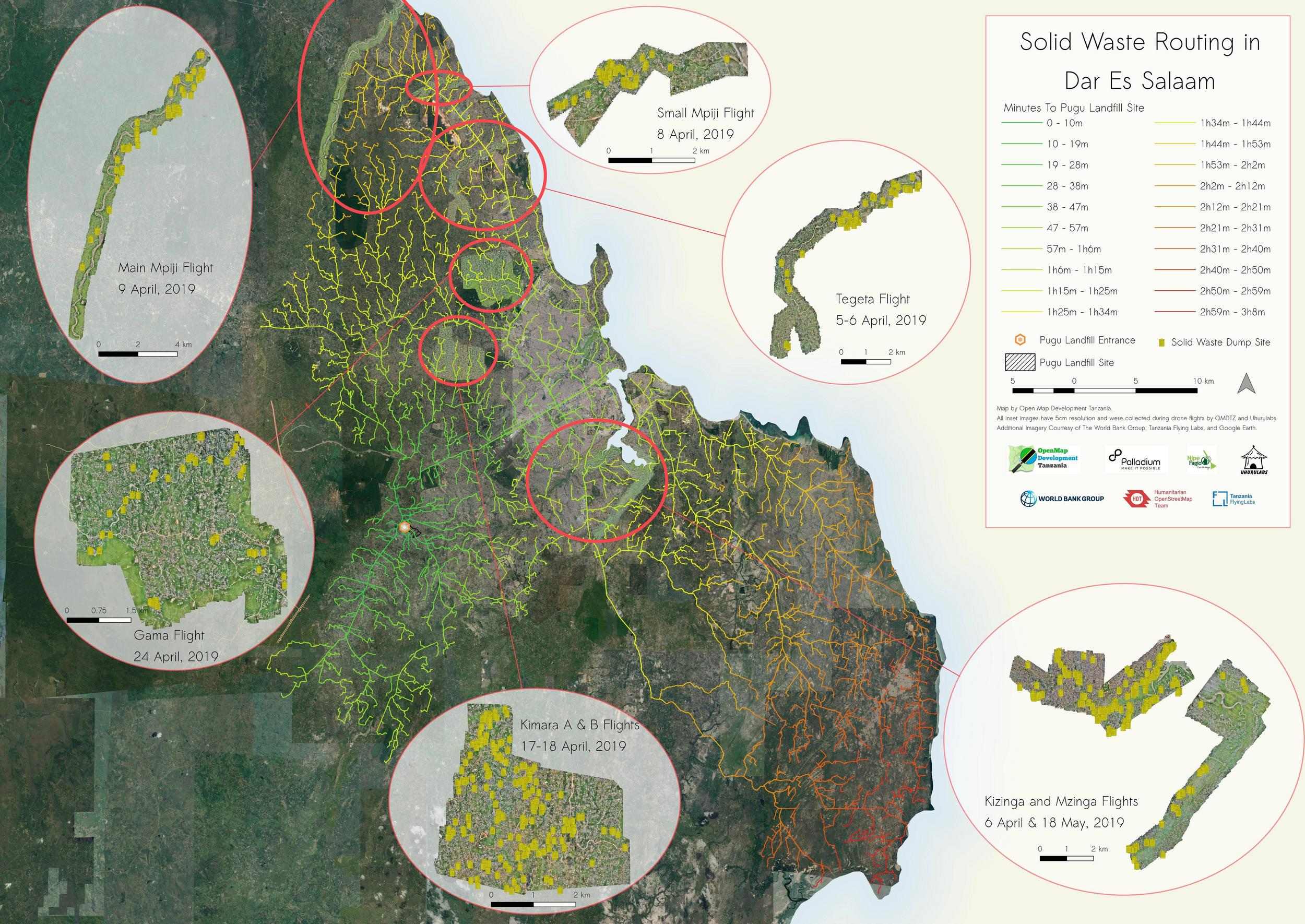
Using Open Source Tools to Solve Routing Issues for Solid Waste Collection in Dar Es Salaam
One of the biggest difficulties in establishing an effective and efficient waste management collection and transportation system in Dar es Salaam is how long it takes to travel to Pugu dumpsite, the only officially designated solid waste dump in the city, and the best route to use.
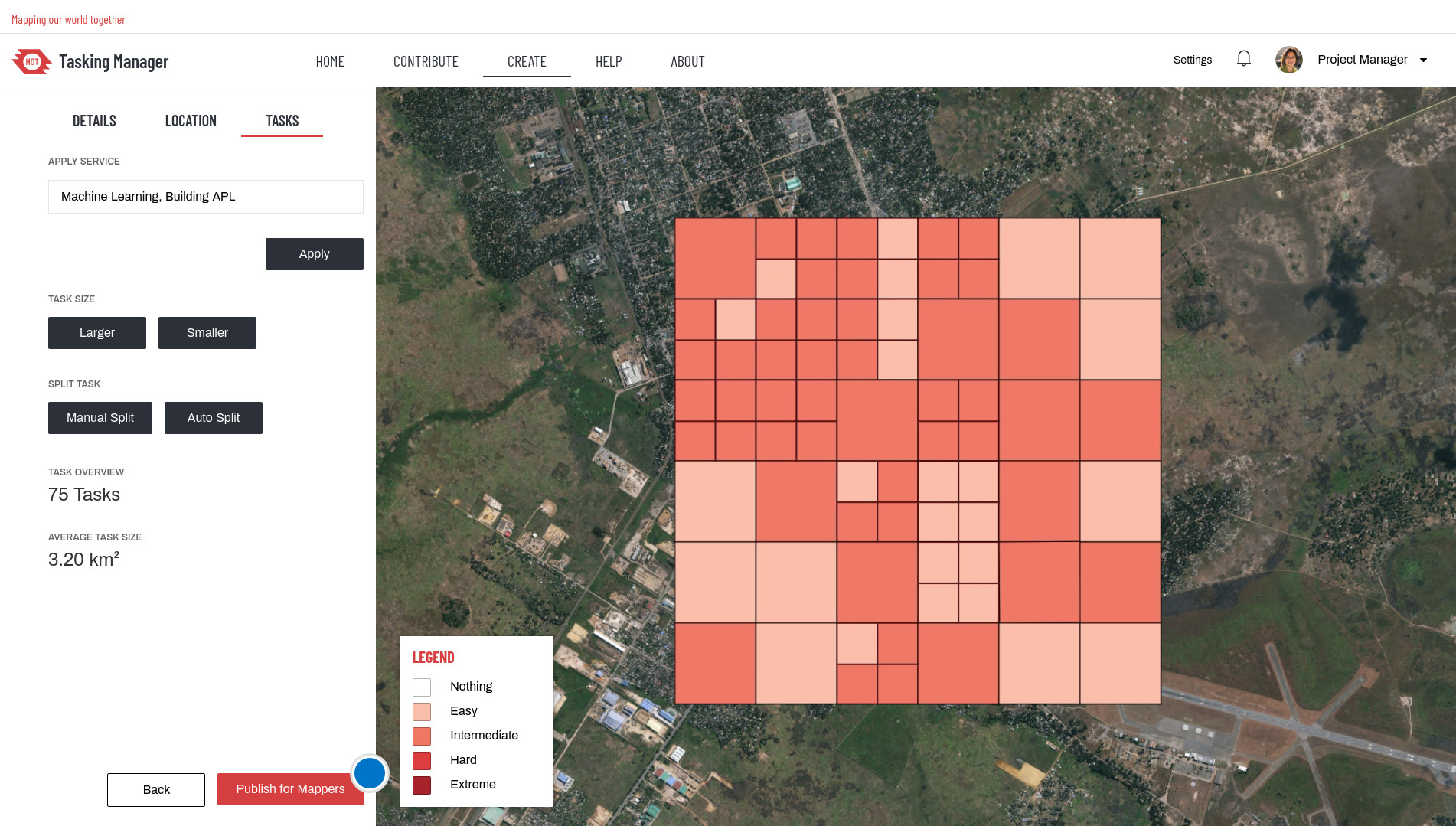
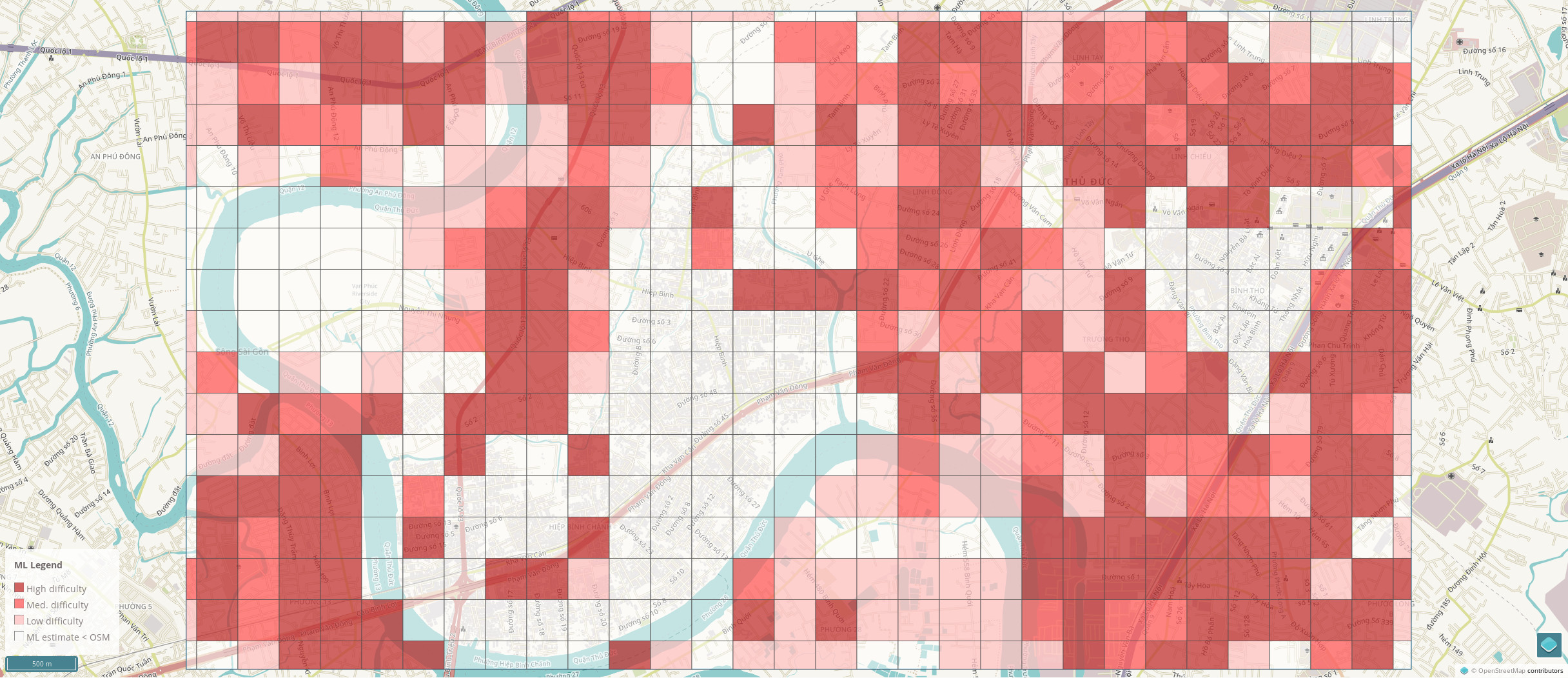
Using machine learning to identify the effort and complexity of mapping areas
Testing more machine learning integrations with the Tasking Manager
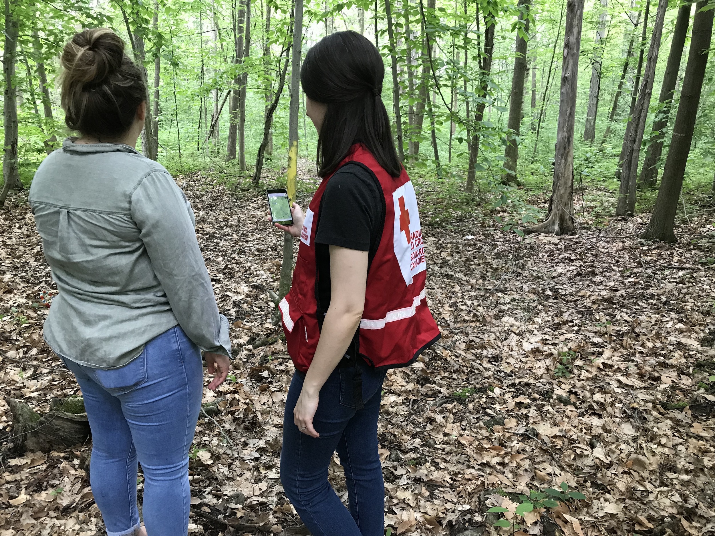
Mapping with Indigenous Communities for Disaster Relief and Preparedness
Melanie Chabot is a GIS Coordinator with the Canadian Red Cross. She leads the Missing Maps pilot project in Canada which aims to map areas important to indigenous communities and to assist with disaster preparedness and response in these areas.
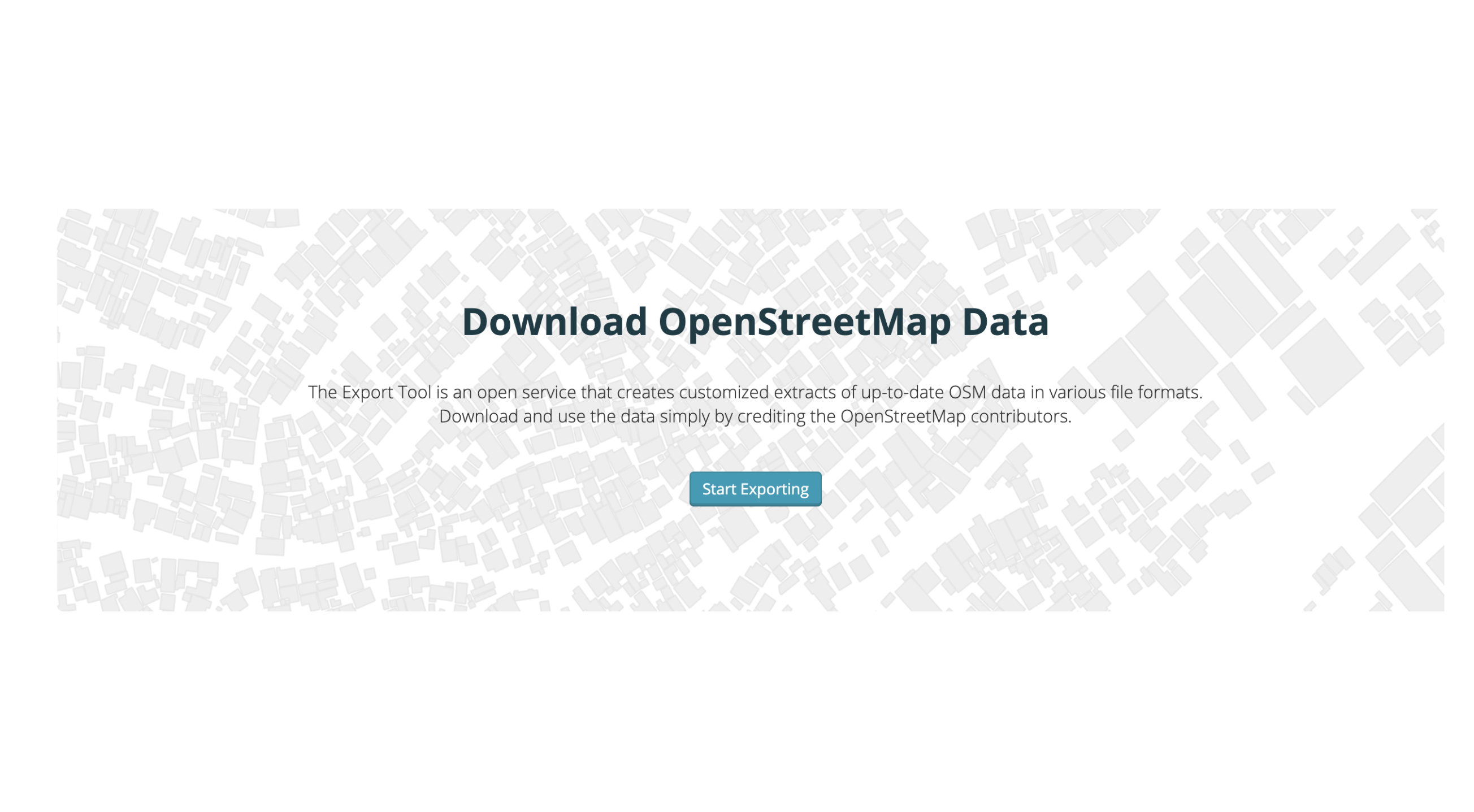
How We're Making it Easier for Humanitarians to Use OpenStreetMap Data
At HOT, we’re constantly looking to improve our tools to address user needs and help OpenStreetMap data be delivered in the right format at the right time. In July we started a new round of software development on the Export Tool to continue to help humanitarian partners get the data they need. We continue to update and develop the Export Tool as we attempt to provide our users with the best possible experience and answer a wider variety of their needs.
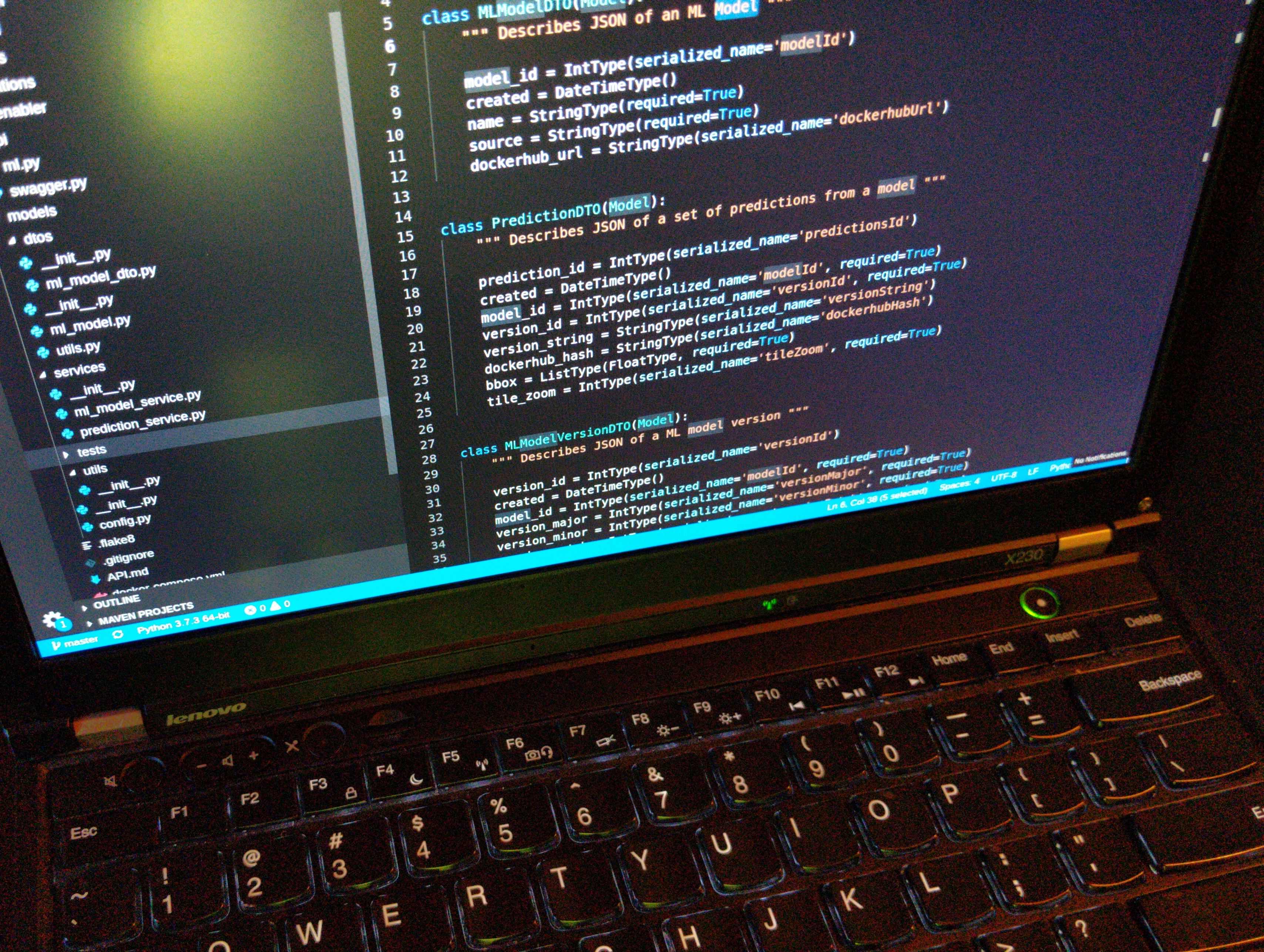
The Machine Learning Enabler
The Humanitarian OpenStreetMap Team is partnering with Development Seed, Facebook, and Microsoft to build AI-based mapping tools to empower mappers around the world. We...
Collecting building data sets for exposure data in Tanzania
Since 2018, HOT-Tanzania has been carrying out the METEOR project, a project that uses Earth Observation (EO) data to assess the level of exposure...

How #Map2020 Mappers Use Street-Level Imagery to Tackle Humanitarian Challenges
From Ghana to Zambia to the Philippines, we take a look at some of the 33 mapping projects that are taking part in #map2020 to build better maps in undermapped regions. The mapping participants are collecting street-level imagery to improve things like waste management, natural disaster response, and damaged roads, addressing some of the most pressing issues in undermapped regions.

Hands on Assisted Tasks
Launch of an experimental playground Tasking Manager supported by state-of-the-art machine learning techniques to assist mappers, validators and project managers.
#map2020: A campaign to accelerate critical map data collection for humanitarian challenges
Mapillary and HOT are joining forces to accelerate map data collection in undermapped regions. Local mappers are invited to use street-level imagery in mapping projects that address humanitarian or developmental challenges. Two of the projects submitted to the #map2020 campaign will be selected for a fully-funded trip to the HOT Summit in Heidelberg, Germany this September.

Maps in action: How maps help the aid response for Cyclone Idai
How do humanitarians use the data and maps provided by HOT and OpenStreetMap? Lauren Bateman, Remote Coordinator for Information Management Team for Cyclone Idai Response, American Red Cross, talks about how the IFRC used the maps on the ground during Cyclone Idai.

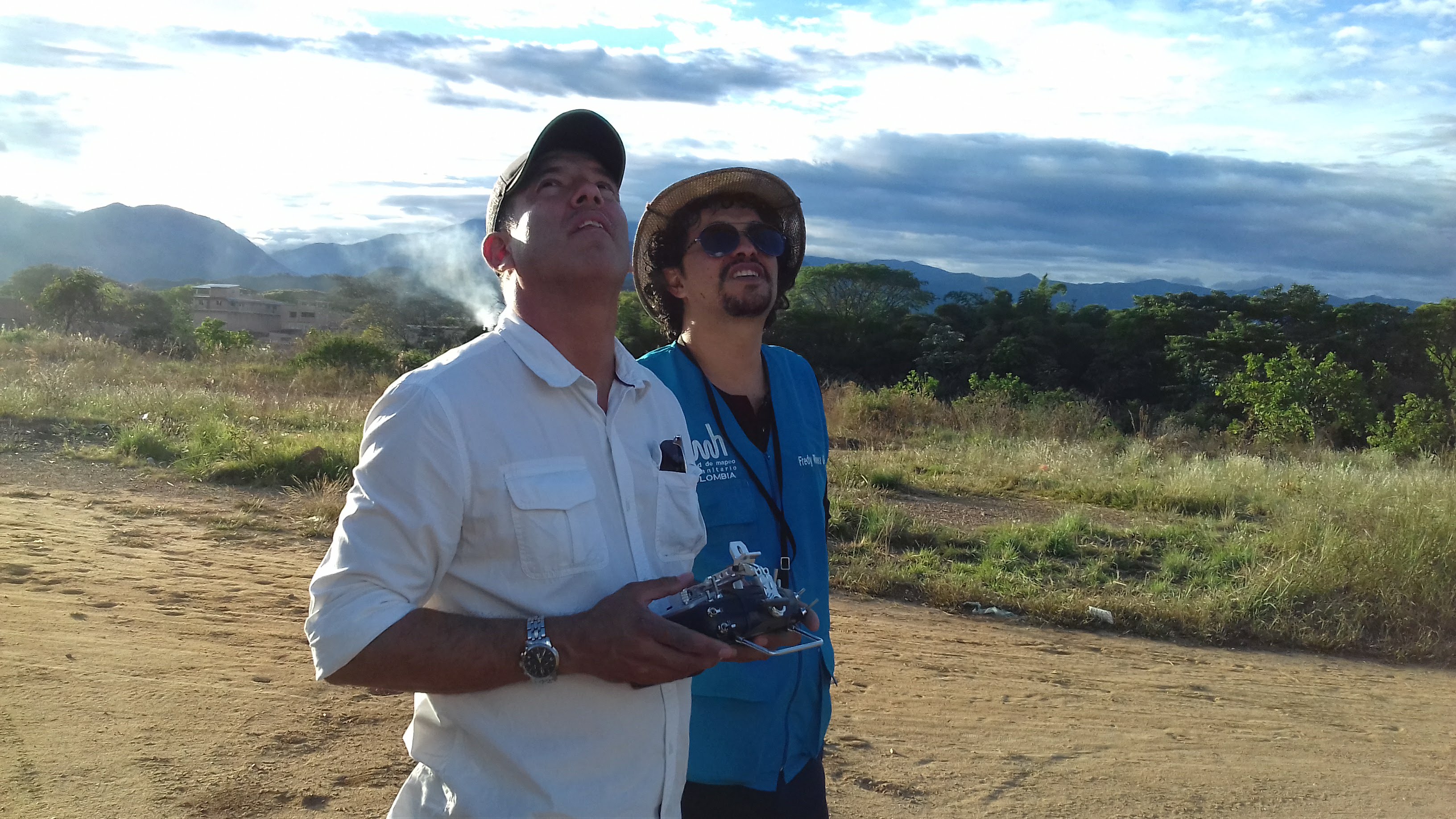
Eight New Communities Selected for 2019 HOT Microgrants
Female drone pilots mapping Africa’s largest slum, a youth group changing waste management behaviours in mega-cities, and mappers making Manila more accessible for persons with disabilities. These are a few examples of the eight incredible new community projects that are the recipients of the 2019 HOT Microgrants!
An approach to field data collection in Kathmandu
Guest blog by Gaurav Thapa from Kathmandu Living Labs. Covering the collection process carried out by the team for surveying exposure data in Kathmandu Valley, Nepal as part of the METEOR project.
